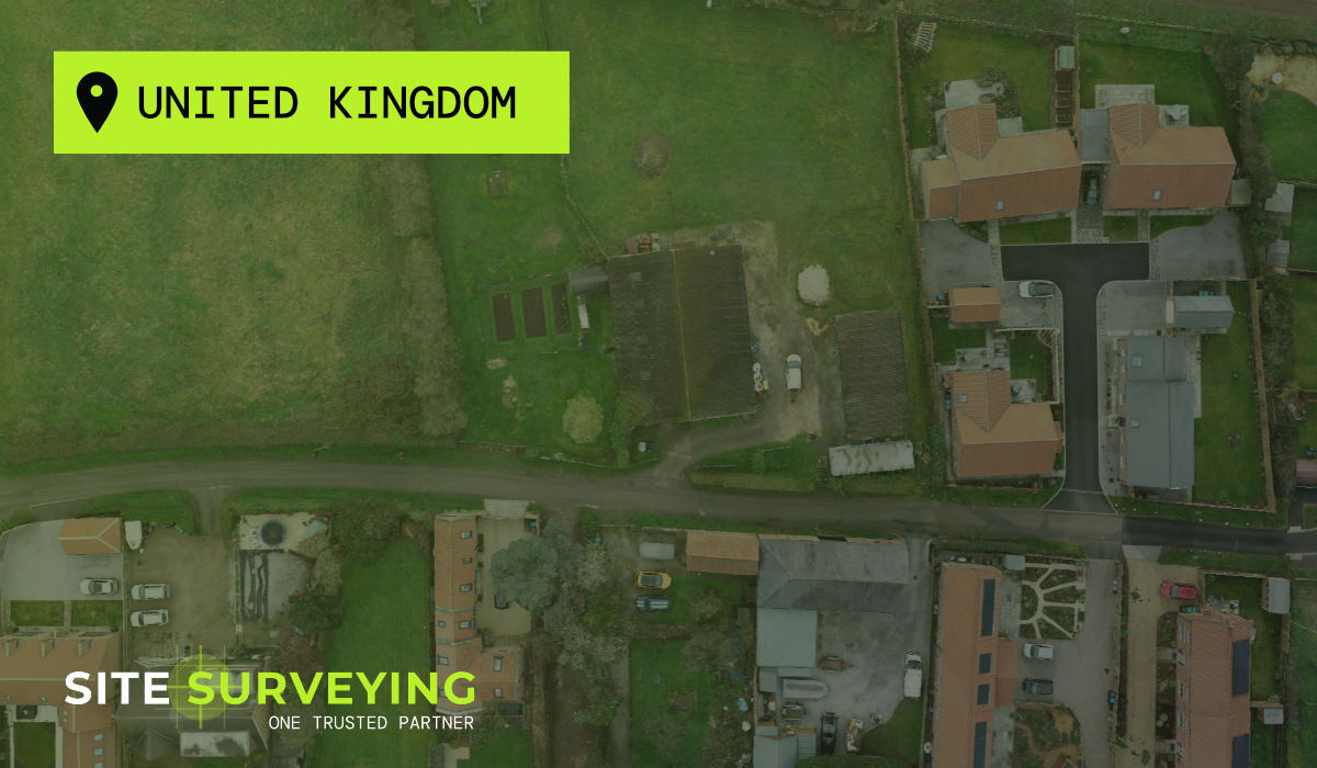
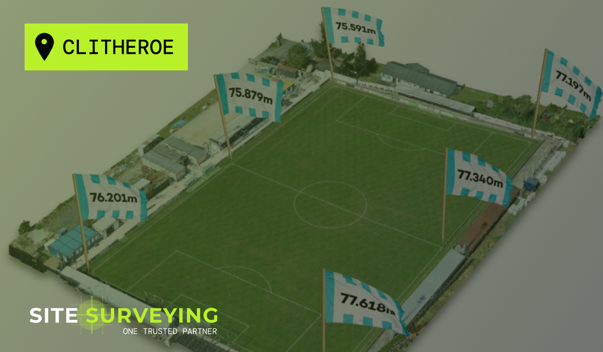
Leeds
Leeds Doncaster
 Sheffield
 Bradford
 Hull
Hull Halifax
 Sunderland
 Newcastle
 Middlesborough
 Yorkshire Moors
 Teesside
 Cumbria
 Harrogate
 York
York Yorkshire Dales
 Northumberland
 Goole
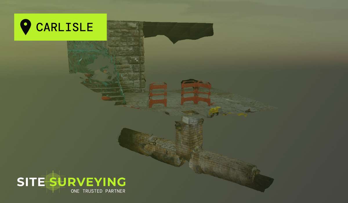
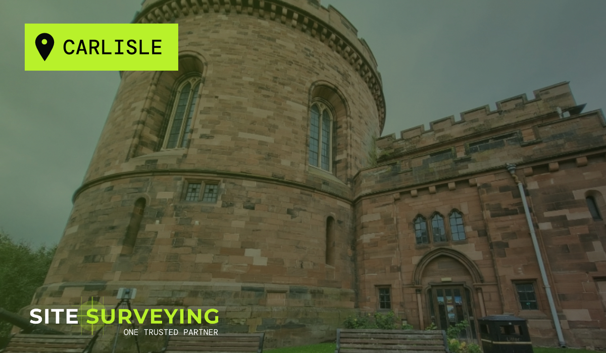
Goole Carlisle
 Keswick
 Kendal
 Barrow-in-Furness
 Lancaster
 Blackpool
 Morecambe
 Southport
 Liverpool
 Wigan
Wigan Manchester
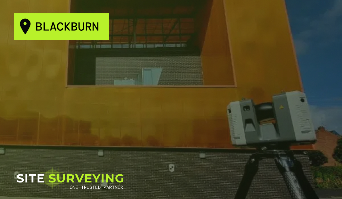
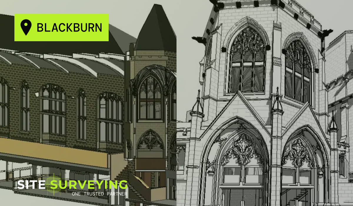
 Blackburn
 Burnley
 Forest of Bowland
 Oldham
 Chester
 Stockport
 Peak District
 Skipton
 Crewe
Crewe Rotherham
 Stoke
Stoke Driffield
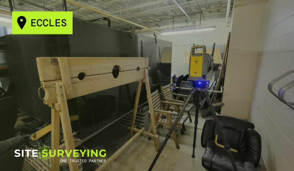
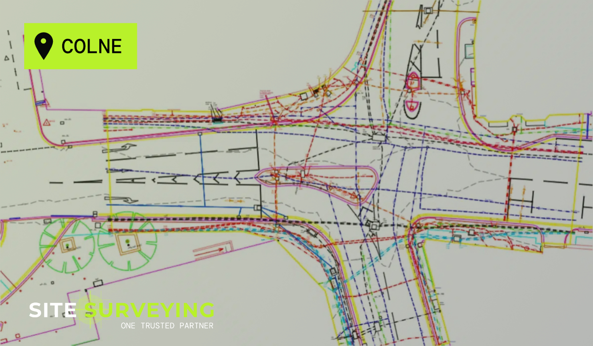
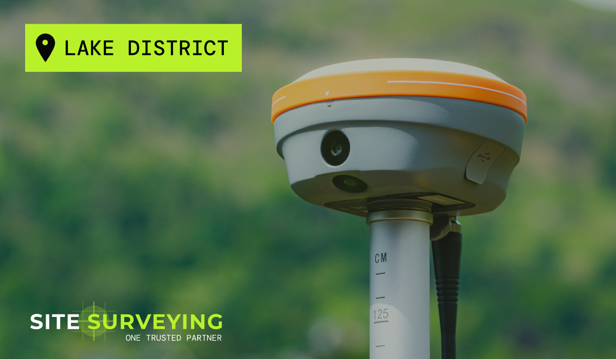
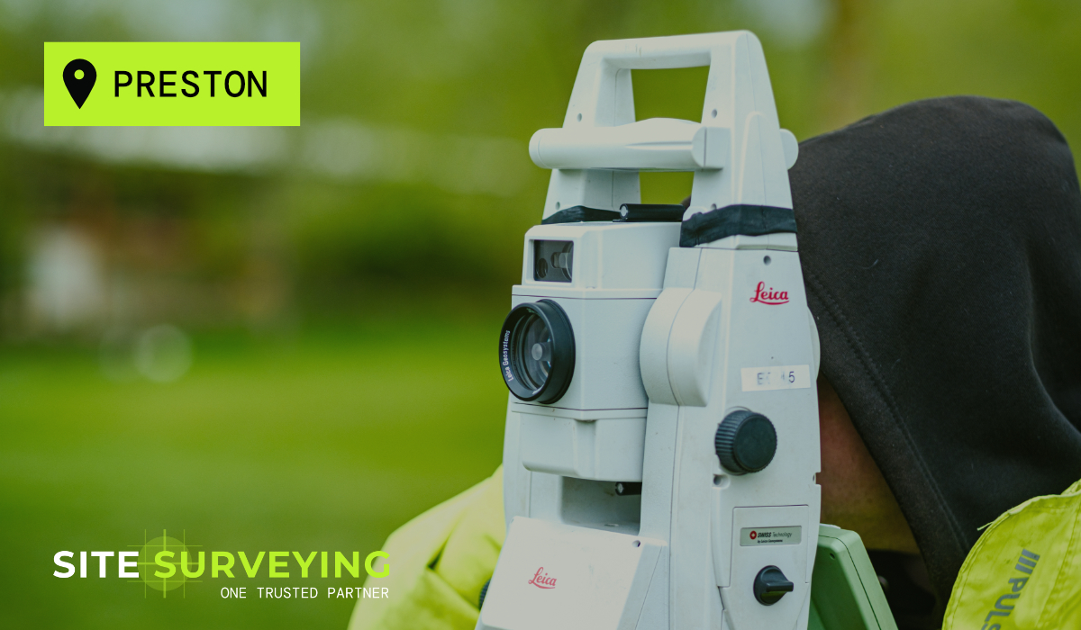
TOPOGRAPHICAL SURVEY
LASER SCANNING
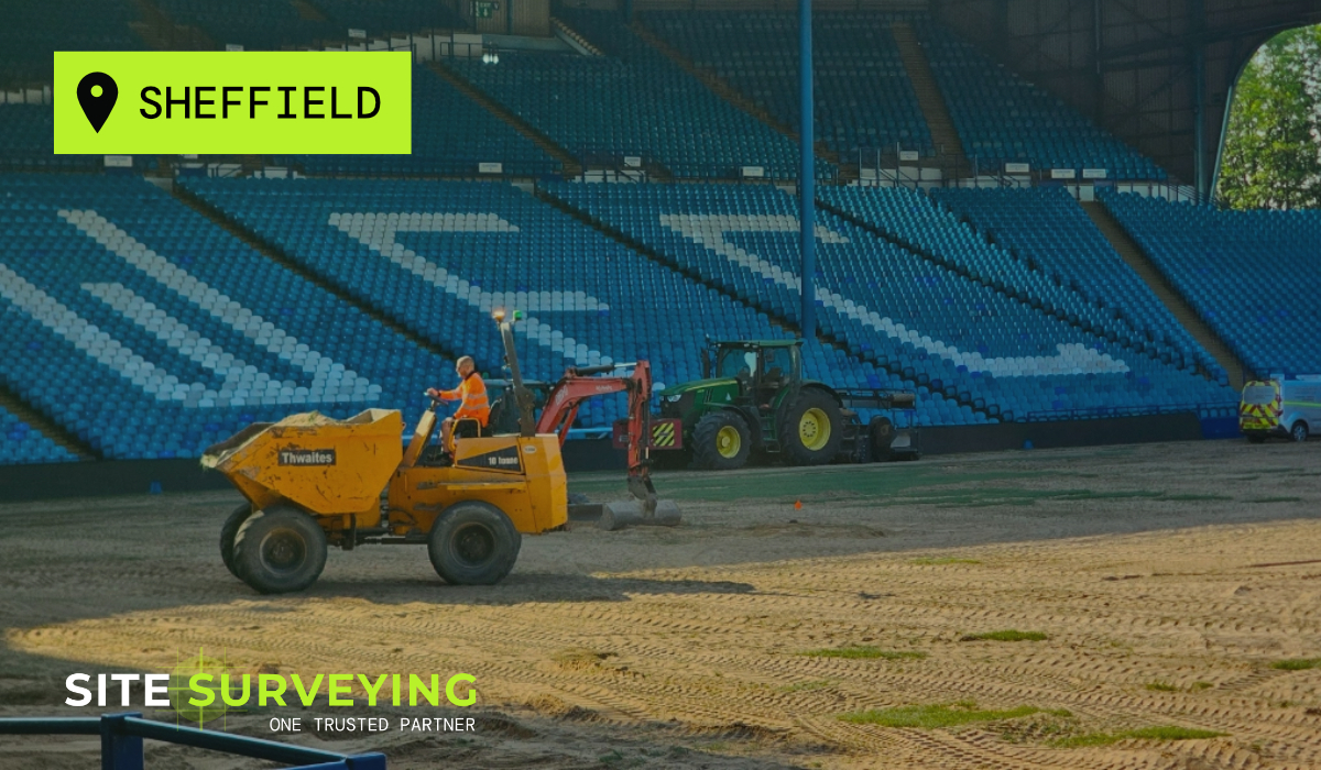
MEASURED BUILDING SURVEY
The Brief
The Brief
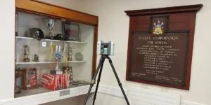
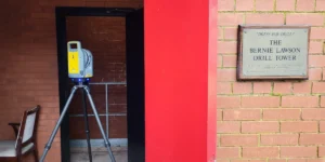
Greater Manchester Fire & Rescue Service planned a significant refurbishment and extension of Eccles Fire Station to modernise its facilities and improve operational efficiency. Before design could progress, the architectural team required an accurate and complete record of the existing building and its surrounding site. Site Surveying Services was appointed to deliver a full laser scanning and measured building survey of the station, combined with a topographical survey of the external site. The surveys needed to capture everything the design team required – floor plans, elevations, sections, ceiling heights, structural elements, site levels, drainage and access – in a form ready for immediate use in the refurbishment design.
The complication was the environment. Eccles Fire Station is an active operational station. Emergency service operations run continuously throughout the day and night. The survey programme had to work around the station – not the other way around.
The Challenge
The Challenge
Surveying an active fire station presents challenges that are distinct from any other public sector building environment. The station operates on a continuous duty cycle – shifts change, callouts happen without warning, vehicles need to move at any moment, and the safety of the public and of station staff depends on nothing in the survey programme interfering with emergency readiness.
- Live emergency operations throughout - the survey could not compromise the station's ability to respond to callouts at any point during the programme.
- Unpredictable access - vehicle deployments and shift handovers could require the survey team to stand down and clear apparatus bays at short notice.
- Complex building - an older structure with inconsistent legacy drawings that could not be relied upon for existing building dimensions or room layouts.
- Full internal coverage required - all spaces needed to be captured, including plant rooms, dormitories, apparatus bays and areas with restricted access or poor lighting.
- External site coordination - the topographic survey of the station grounds needed to be completed without obstructing vehicle access routes or parking.
Our Approach
Our Approach
The survey programme was built around the operational requirements of the station from the outset – not adapted to fit them after the fact. Before a single scan was taken, our team spent time with fire service staff to understand the duty schedule, the most operationally sensitive areas and the protocols we needed to follow when a callout required us to move.
Before the survey began, our team spent time with fire service staff to understand the operational schedule – shift patterns, drill timings, vehicle deployment sequences and the access restrictions that would govern the survey programme.
Full internal laser scan of the building using multiple scan positions, capturing all rooms, plant areas, apparatus bays, dormitories, offices and ancillary spaces. The scan captured all structural elements, ceiling heights, opening dimensions and building fabric detail that a tape survey in an active station environment could not reliably record.
Floor plans, elevations and sections processed in-house from the laser scan data – producing a complete, accurate measured building survey to the specification the architectural team required for refurbishment design. All dimensions verified against the scan data before delivery.
External topographic survey of the station site – ground levels, access routes, drainage, hardstanding, boundaries and external structures – providing the design team with the full site context needed for the refurbishment and extension design.
The survey programme was planned around the station’s operational schedule and adapted in real time when emergency callouts required the survey team to stand down and clear access routes. Every survey session was coordinated with the duty watch before it began.
The Solution
The Solution
- Complete internal laser scan of the building - all rooms, apparatus bays, plant areas, dormitories, offices and ancillary spaces captured and registered into a single point cloud.
- Full measured building survey - floor plans, elevations and sections at the scale and accuracy the architectural team specified, processed in-house from the scan data and verified against the point cloud before delivery.
- Ceiling heights and structural elements confirmed throughout - addressing the gaps and inaccuracies in the legacy drawings that the design team had flagged as a risk
- External topographic survey - site levels, access routes, drainage, hardstanding, boundaries and all external features required for the refurbishment and extension design.
- Integrated dataset - internal building data and external site data delivered in a single coordinated output, in the CAD format the architectural team required.
The Outcome
The Outcome
The architectural team received a complete, accurate measured building survey and topographic dataset – capturing every dimension, level, structural element and site feature required for the refurbishment design. The inconsistencies in the legacy drawings were identified and resolved within the survey data before delivery, eliminating the design risk they represented. Most significantly, the survey was completed without disrupting the operational capacity of the station at any point. The duty watch was never delayed. Vehicle movements were never obstructed. Emergency readiness was never compromised. The station continued to serve the public throughout. This project demonstrates what surveying in a sensitive, live operational environment requires — not just technical capability, but the understanding that the survey team’s job is to work around the building and its people, not to expect the building and its people to work around the survey.