

Get in touch
Contact Us.
We respond to every enquiry during our working hours. If your programme is urgent, call us directly — you will speak to a surveyor, not a call handler.
Contact
What happens when you contact us
When you get in touch with Site Surveying Services, you speak directly to the people who do the work. There is no account management layer, no call centre and no form that routes your enquiry into a ticketing system. Your enquiry goes directly to a member of our survey team who understands your programme, knows what the survey scope requires and can give you a realistic quote and timescale on the same call or in the same email response.
By phone
call 01200 438 320 during working hours and you will speak to a member of our team immediately. If you are calling about a specific programme, it helps to have the site location, the survey type and your timescale ready — but if you are not sure what you need yet, tell us what stage the programme is at and we will advise.
By email
send your enquiry to admin@sitesurvey.co.uk and we will respond within our working hours with a scoped quote or a request for any additional information we need to produce one.
Via the form
complete the form below with as much or as little detail as you have. We will contact you by your preferred method same day.
Our Offices.
Unit 1, Shawbridge Sawmill
Taylor Street
Clitheroe
BB7 1LY
Bank Road
Matlock
Derbyshire
DE4 3NF
Clavering Place
Newcastle upon Tyne
Tyne and Wear
NE1 3NG
Newminster House
27–29 Baldwin Street
Bristol
BS1 1LP
Our Services.
Topographical Surveys
OS-controlled accurate, efficient and cost effective surveys for highways, civils and development. Cad and BIM-ready output.
PAS 128 utility mapping
Providing the location of underground services in 2D or 3D through qualified utility mapping surveys, using advanced GPR and Electromagnetic Location.
Measured building survey
Delivering accurate as-built information that supports design, refurbishment, planning and construction with the latest technology. Producing reliable drawings and digital models.
Laser Scanning
3D laser scanners capture millions of points per second, creating a point cloud which enables the finer details and the physical site to be viewed remotely.
Mobile mapping
For highway engineers, infrastructure managers, local authorities and contractors working on live road schemes, mobile mapping is now the standard for corridor surveys.
3D Machine control
With decades of supporting major earthworks contractors and large-scale infrastructure schemes, we provide reliable machine control across Lancashire and the wider UK.
Setting out engineers
With strong, long-standing relationships across the civil engineering and construction sector, we supply skilled professionals who keep your projects accurate, efficient and on programme.
bathymetric surveys & river surveys
Using modern technology, we capture detailed underwater and river channel information safely and efficiently – delivering reliable data you can trust.
Stockpile surveys & volumetric analysis
Whether a one-off stockpile measurement or regular monitoring, we deliver reliable, repeatable data tailored to your project using advanced technology.
Control Network Installation
Delivering robust and precise site control systems to support every stage of construction in developments, infrastructure schemes or major earthworks.
aerial & drone surveys
CAA-approved drone operations for aerial mapping, photogrammetry and volumetric analysis, providing a comprehensive view of terrain, structures and landscapes.
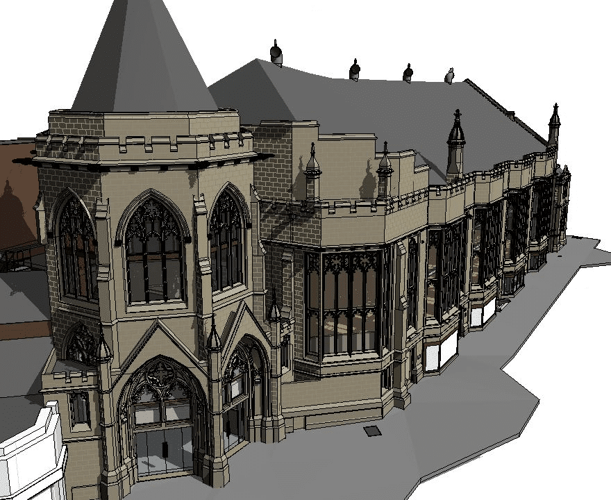
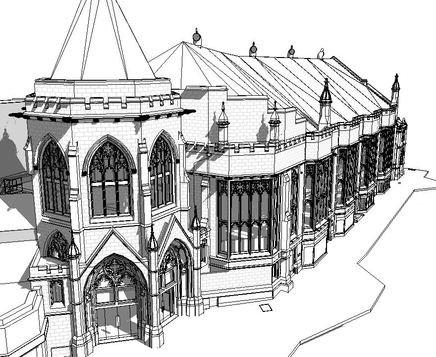
3D BIM Modelling
Whether you require an as-built Revit model, federated coordination model or detailed digital twin, our team delivers high quality, design-ready outputs.
survey equipment hire
We offer a vast range of surveying and engineering equipment for hire and will always try to beat a comparable quote. Discover the fleet.
monitoring
Providing reliable monitoring surveys across the UK, delivering precise data that supports risk management, compliance and informed decision making throughout a project lifecycle.
Virtual Tour 3D
An immersive experience which instantly transports your clients to your business, guiding them through your space and creating a seamless experience.
Impermeable area surveys
We deliver georeferenced impermeable area data that drainage engineers and planning consultants can work from directly.
CCTV & Drainage surveys
Acoustic & Noise Assessments
We deliver acoustic and noise assessments, supporting planning applications, discharge of conditions and Environmental Impact Assessments.
Topographical Surveys
PAS 128 utility mapping
Laser Scanning
Mobile mapping
Setting out engineers
bathymetric surveys & river surveys
Control Network Installation
aerial & drone surveys
survey equipment hire
monitoring
Impermeable area surveys
CCTV & Drainage surveys
3D Machine control
Acoustic & Noise Assessments
Stockpile surveys & volumetric analysis
3D BIM Modelling
3D BIM Modelling
Virtual Tour 3D
Why choose site surveying services
On site. On spec. On time.
fast turnaround
Get a quick quote and a survey team prepared for instruction. When the programme window opens, we're ready.
Industry Accredited
Built on recognised industry standards. Constructionline Gold accredited, CAA Approved, CDM 2015 compliant, and surveys delivered to PAS 128
Nationwide
Coverage across the UK with local knowledge you can rely on. Headquartered in Clitheroe, we know the sites, the contractors and the programmes — backed by the capability to deliver anywhere.
Programme-Critical
Data that works in your environment from day one. BIM to your EIR. CAD to your spec. No reprocessing. No delays to the design team.