Leeds
Leeds Doncaster
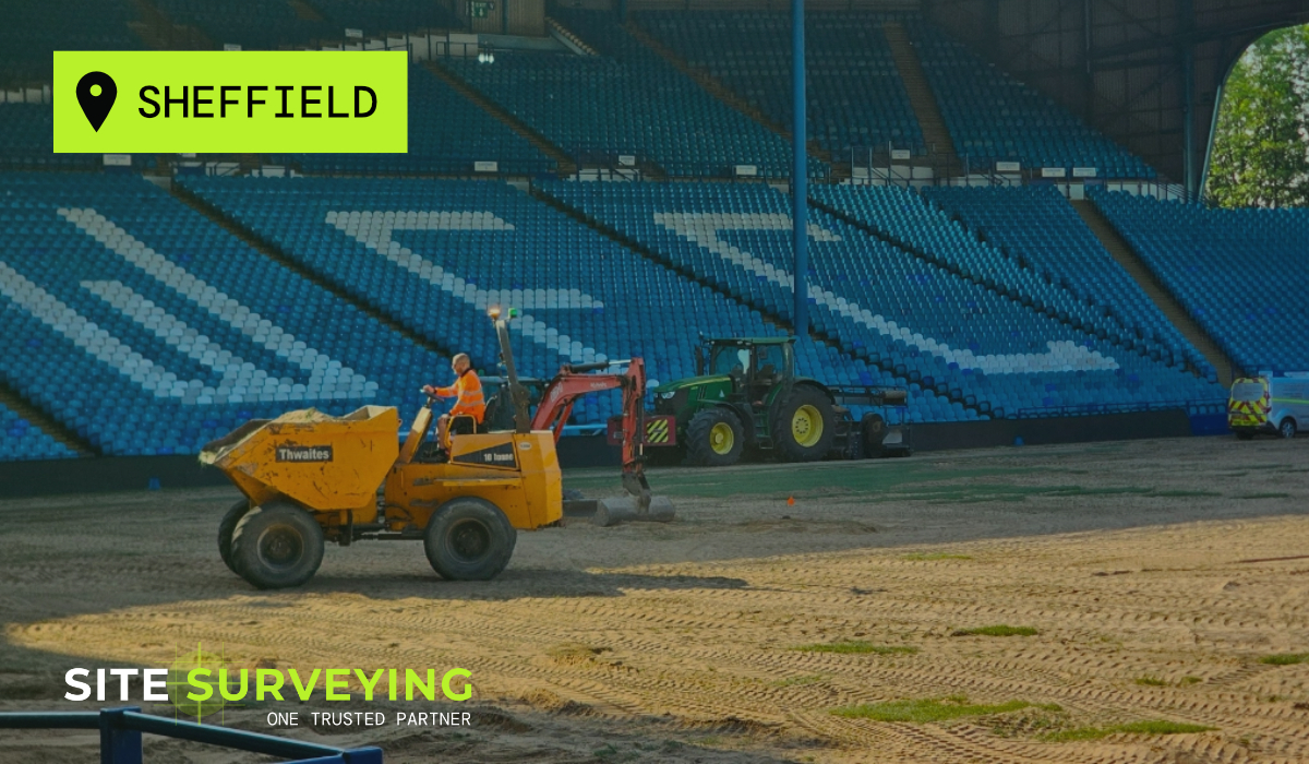
 Sheffield
 Bradford
 Hull
Hull Halifax
 Sunderland
 Newcastle
 Middlesborough
 Yorkshire Moors
 Teesside
 Cumbria
 Harrogate
 York
York Yorkshire Dales
 Northumberland
 Goole
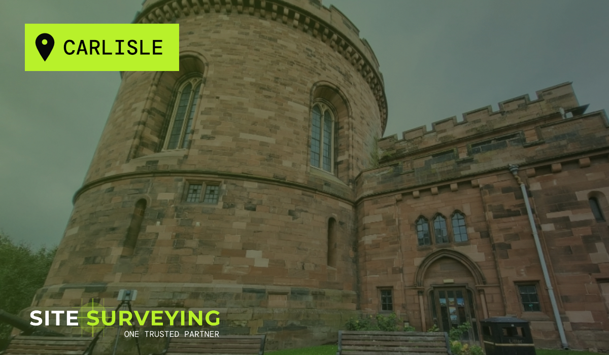
Goole Carlisle
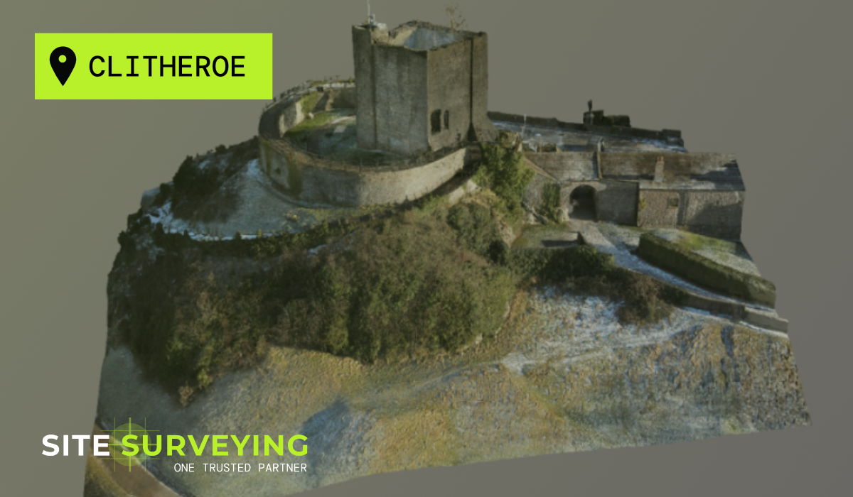
 Keswick
 Kendal
 Barrow-in-Furness
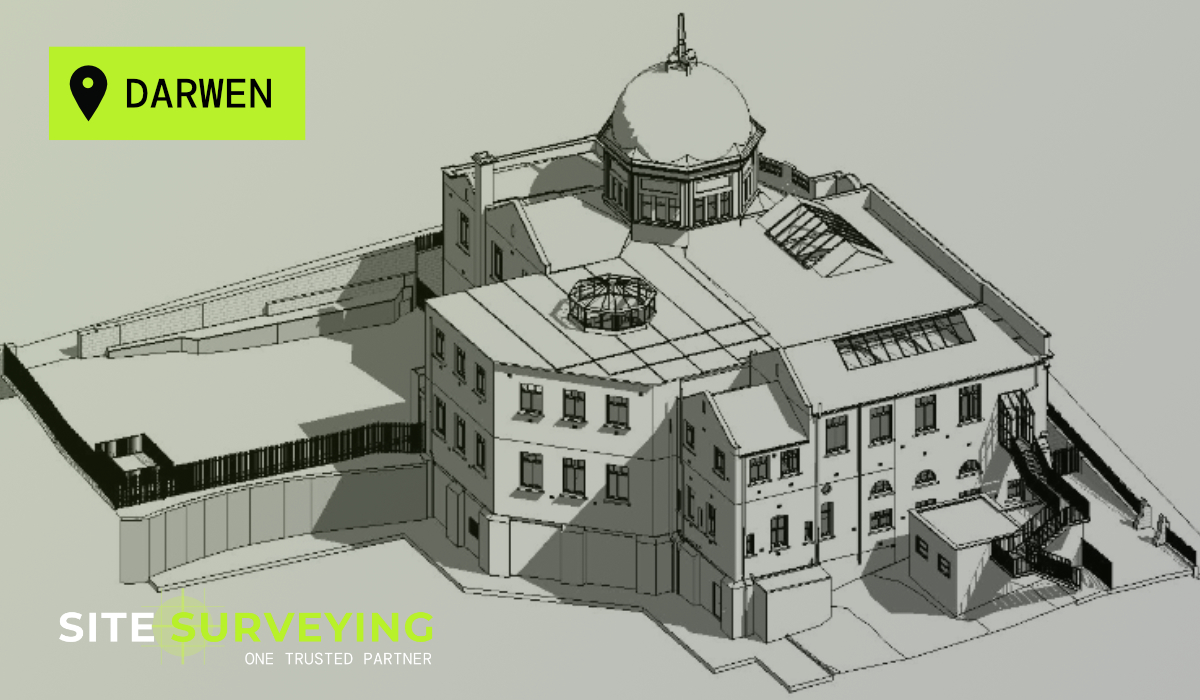
 Lancaster
 Blackpool
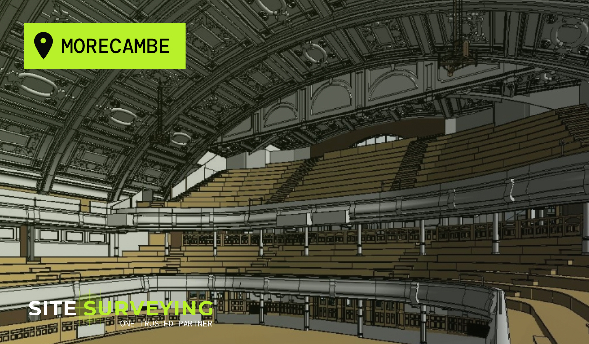
 Morecambe
 Southport
 Liverpool
 Wigan
Wigan Manchester
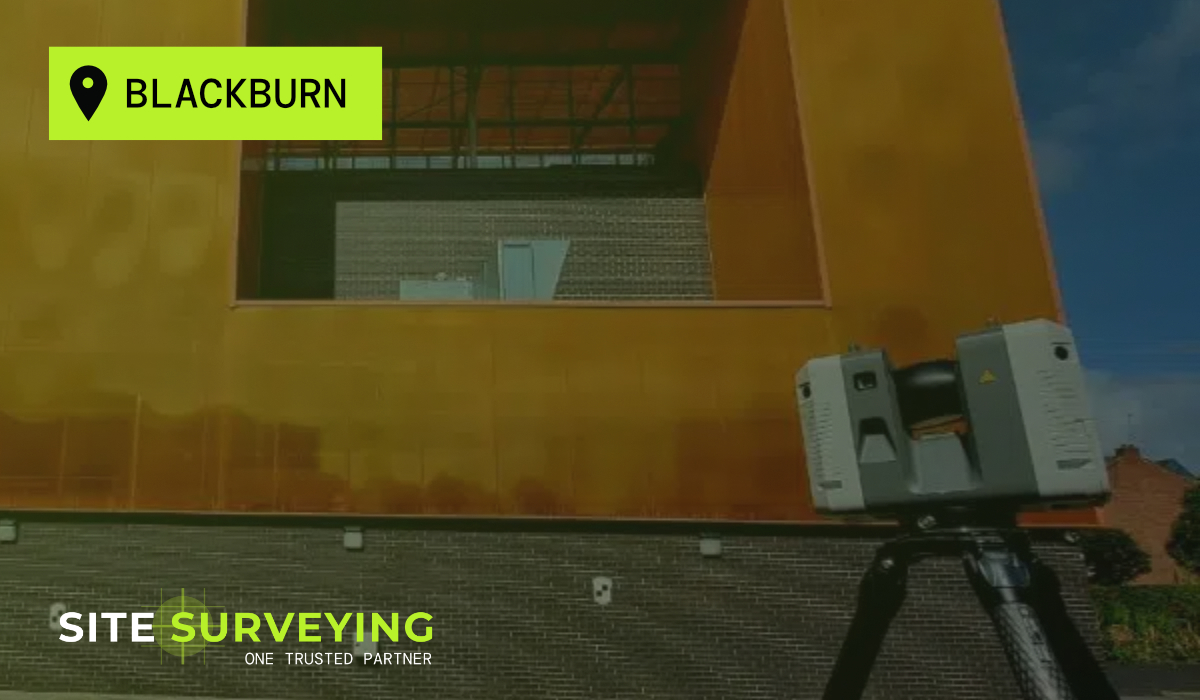
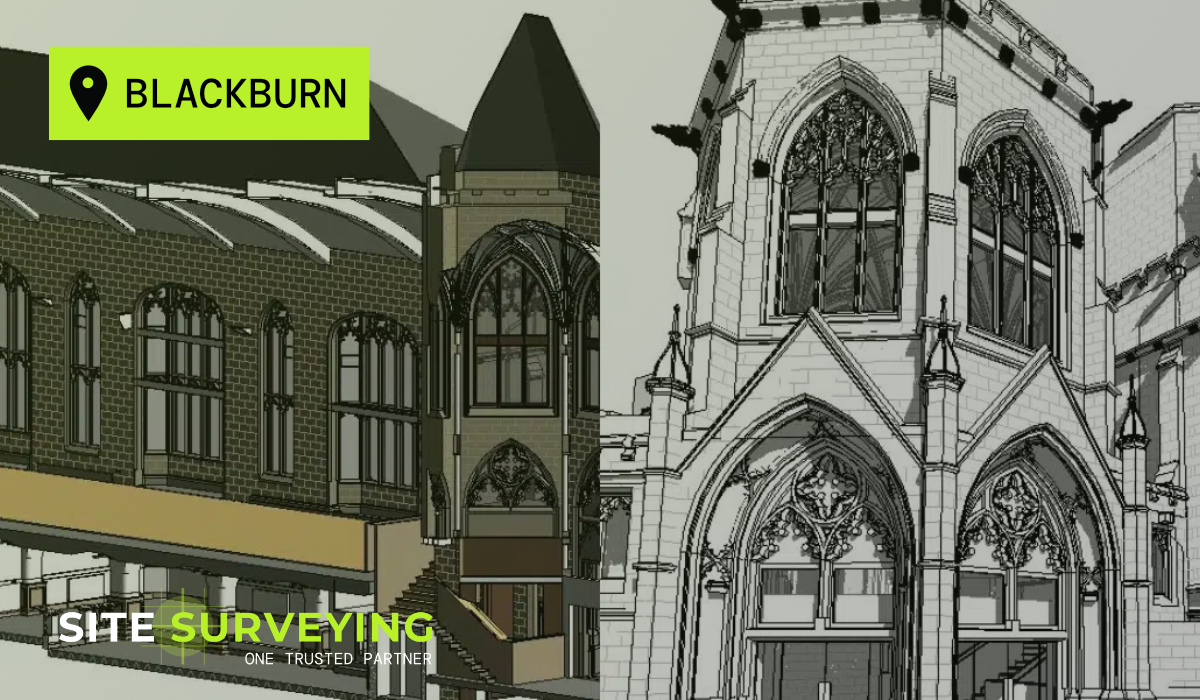
 Blackburn
 Burnley
 Forest of Bowland
 Oldham
 Chester
 Stockport
 Peak District
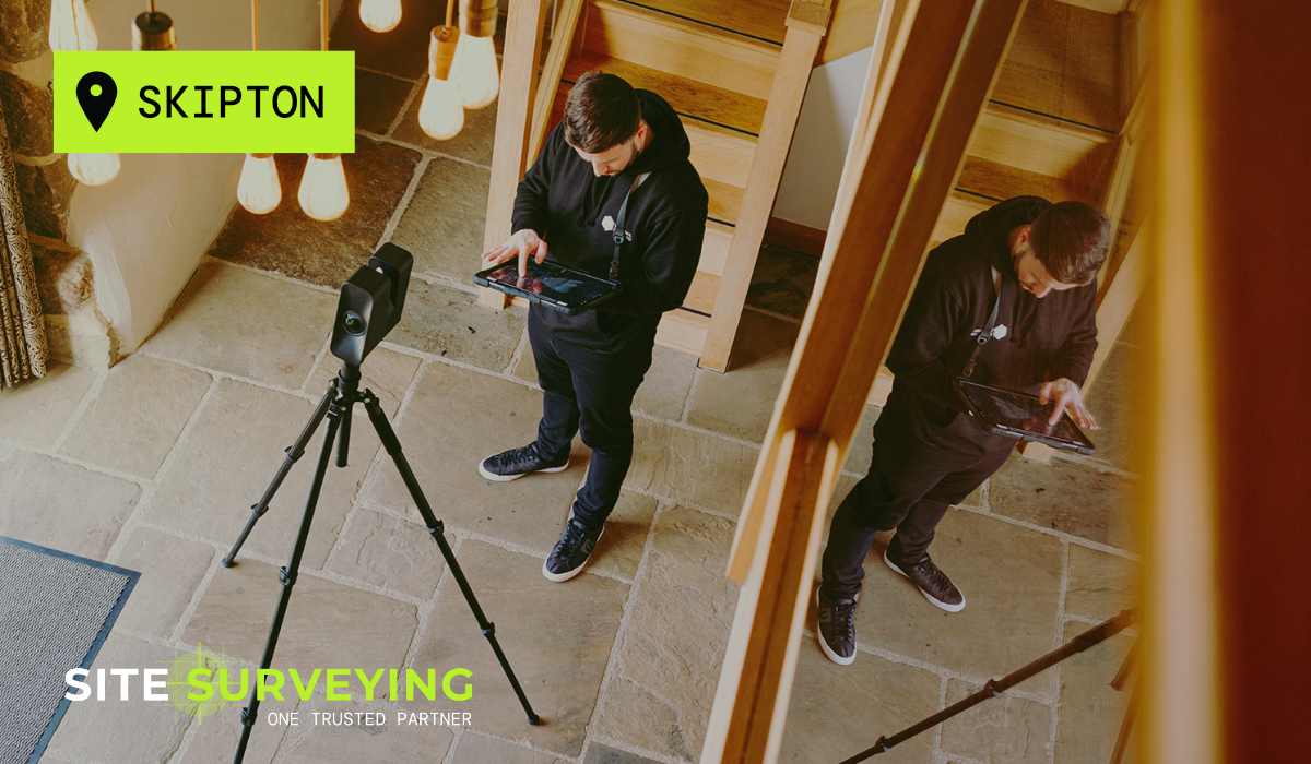
 Skipton
 Crewe
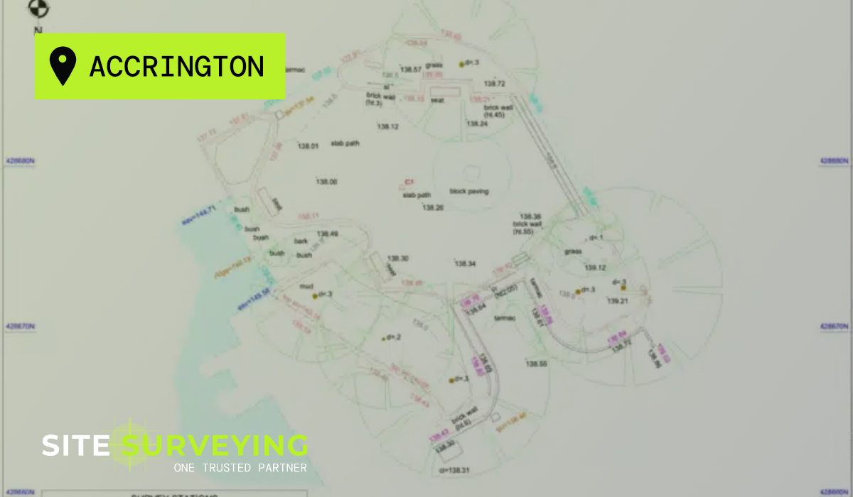
Crewe Rotherham
 Stoke
Stoke Driffield
The Earliest Origins of Architectural Surveying
The Earliest Origins of Architectural Surveying
For as long as buildings have been designed, someone has needed to understand the ground beneath them and the structures already standing upon it. Long before CAD models, laser scanners, or even technical drawings, architects relied on surveyors to translate the physical world into measurable information.
This relationship between those who design and those who measure, is one of the oldest professional partnerships in the built environment. While the tools have changed dramatically over centuries, the fundamental collaboration between architects and surveyors has remained remarkably consistent. At its heart, architecture begins with understanding what already exists, and Site surveying Services
The relationship between surveying and architecture stretches back to the earliest civilisations. In Ancient Egypt, surveyors known as harpedonaptai, (or rope stretchers), were responsible for measuring land boundaries after the annual flooding of the Nile. Using ropes knotted at regular intervals, they established geometric layouts that allowed temples, monuments and settlements to be built with impressive precision.
Without these measurements, architects and builders would have had little understanding of the land they were working with.

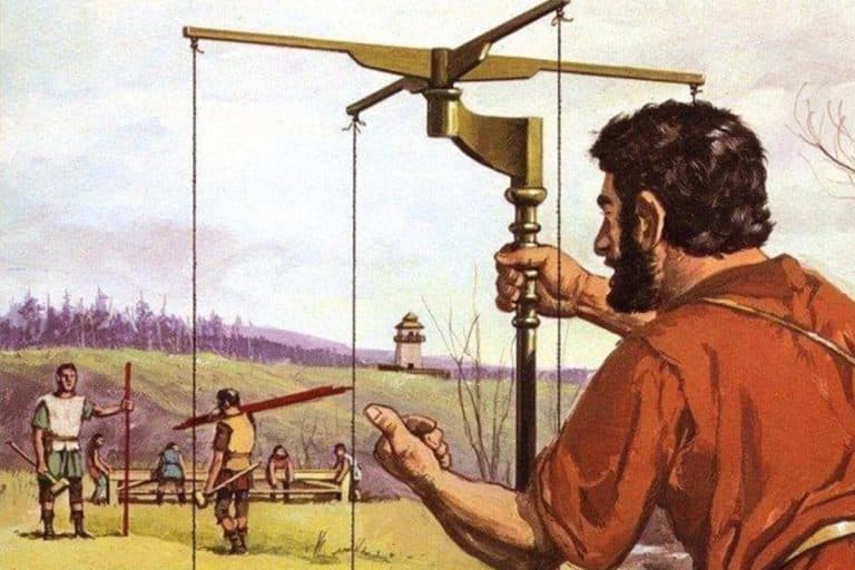
Similarly, in Ancient Rome, surveying became a formalised profession. Roman surveyors, known as agrimensores, were responsible for measuring land, planning cities and laying out infrastructure across the empire.
Their tools included the groma, used to establish straight lines and right angles, and the chorobates, an early levelling instrument used for constructing aqueducts and roads. Roman engineers and architects depended on these measurements to design structures that could be constructed with remarkable accuracy – many of which still stand today.
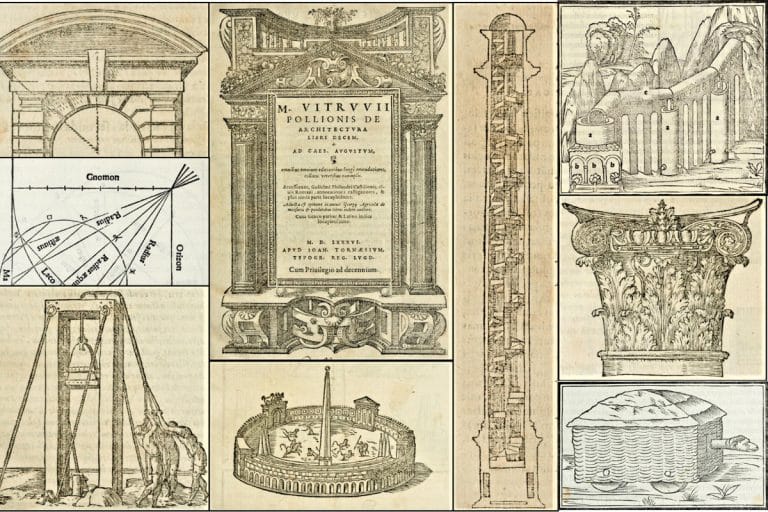
The Roman writer Vitruvius, whose treatise De Architectura remains one of the most influential texts in architectural history, emphasised the importance of understanding site conditions before design begins. His work described how architects should carefully study terrain, orientation, and context; tasks that relied heavily on accurate surveying. Even in the earliest stages of architecture as a discipline, the connection between design and measurement was clear.
The Roman writer Vitruvius, whose treatise De Architectura remains one of the most influential texts in architectural history, emphasised the importance of understanding site conditions before design begins. His work described how architects should carefully study terrain, orientation, and context; tasks that relied heavily on accurate surveying. Even in the earliest stages of architecture as a discipline, the connection between design and measurement was clear.
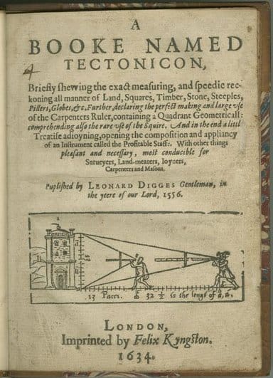
Measurement and Mapping in Early Modern Britain
Measurement and Mapping in Early Modern Britain
As towns expanded and land ownership became increasingly formalised during the sixteenth and seventeenth centuries, surveying began to play a more visible role in shaping the built environment. Architects, planners and landowners relied on surveyors to measure estates, map settlements and document existing buildings.
Distances were often measured using rods or chains, while directions and angles were recorded using compasses or early angular instruments. The plane table allowed surveyors to sketch maps directly in the field, plotting boundaries, buildings and roads while observing the landscape.
Surveyors worked carefully across estates and settlements, combining distance measurements with directional observations to build up an understanding of the terrain. Notes, sketches and measurements were later translated into formal maps and plans that architects and planners could use.
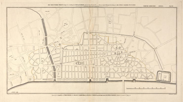
One of the most significant moments for surveying in Britain came after the Great Fire of London in 1666, when large areas of the city had to be measured and mapped before reconstruction could begin.
Surveyors played a critical role in documenting land ownership, street layouts and surviving structures. Figures such as John Ogilby, who later produced one of the first detailed maps of London, helped establish accurate representations of the city that architects and planners could use during rebuilding.
Without this measured understanding of the city, the reconstruction of London would have been far more chaotic.
Although the tools were simple by modern standards, these methods allowed surveyors to create increasingly reliable representations of land and buildings. For architects, these maps and measurements formed the foundation for understanding sites and planning new development.
Even in this early period, the collaboration between surveyors and architects was already established with one profession documenting the physical world, the other using that knowledge to shape it.
By the eighteenth century, surveying had become a recognised profession. Accurate measurement was no longer just a technical exercise, it became fundamental to urban planning, land ownership, and architectural development.
The Rise of National Mapping
The Rise of National Mapping
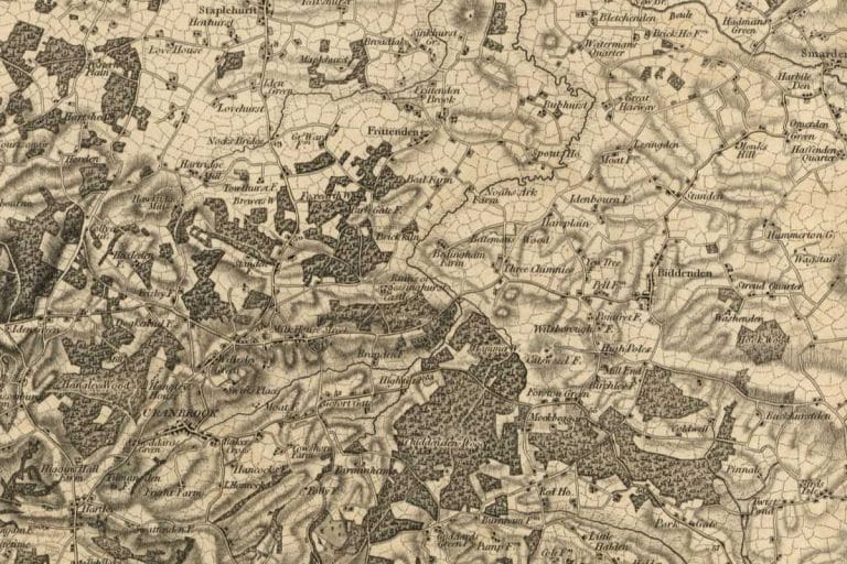
The next major leap came with the creation of the Ordnance Survey in the late eighteenth century.
Originally established to produce detailed military maps of Britain following the Jacobite uprisings, the Ordnance Survey gradually became the authoritative source of geographic information for the entire country.
Using triangulation techniques and carefully calibrated instruments, surveyors produced maps of extraordinary precision for their time. Architects, engineers and planners suddenly had access to reliable information about terrain, infrastructure and settlements.
For the first time, designers could work from consistent, standardised mapping data rather than fragmented local measurements.
This development significantly strengthened the relationship between architecture and surveying, establishing measurement as the foundation of design and construction.
Twentieth-Century Surveying: Precision Through Practice
Twentieth-Century Surveying: Precision Through Practice
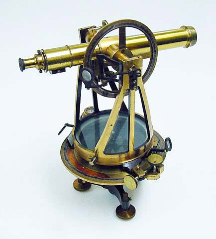
Throughout the twentieth century, measured surveys became an essential part of architectural practice, particularly for refurbishment and conservation projects. Surveyors relied on tools such as:
Measured building surveys were often carried out painstakingly by hand. Surveyors worked methodically through buildings, recording dimensions and levels before translating them into drawings back in the office.
This process required patience and experience. Complex buildings could take days or weeks to measure accurately, and surveyors needed to interpret geometry carefully to ensure the resulting drawings reflected reality.
For architects, these drawings provided the essential foundation for design. However, the process could be slow, and highly irregular structures sometimes remained difficult to document completely.
Despite these limitations, the partnership between architects and surveyors remained central to the design process.
The Digital Transformation
The Digital Transformation
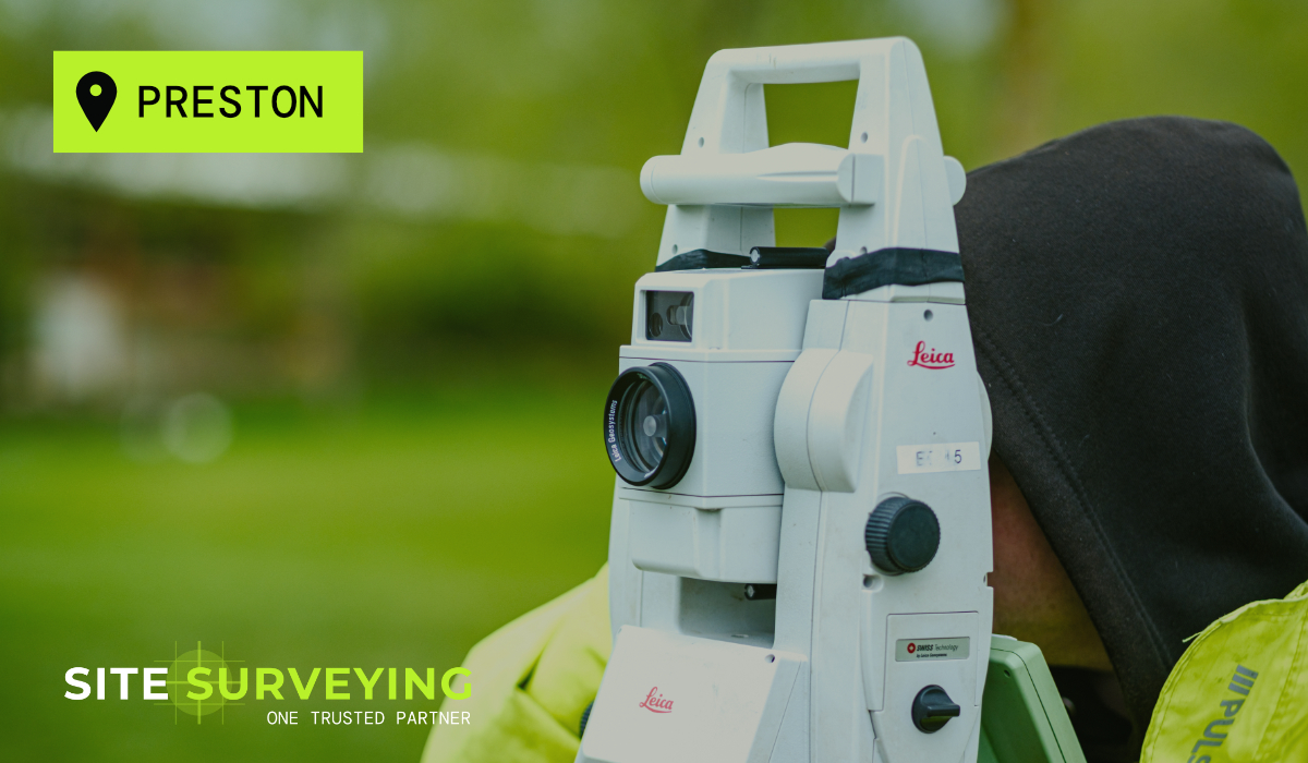
The late twentieth and early twenty-first centuries brought a wave of technological innovation that transformed surveying. Electronic instruments such as total stations and GPS systems significantly improved measurement speed and accuracy. Digital workflows replaced hand-drawn plans, allowing survey data to be transferred directly into CAD environments. For architects, this meant survey information could integrate more easily into design processes. However, the most significant shift came with the emergence of 3D laser scanning and reality capture technologies.
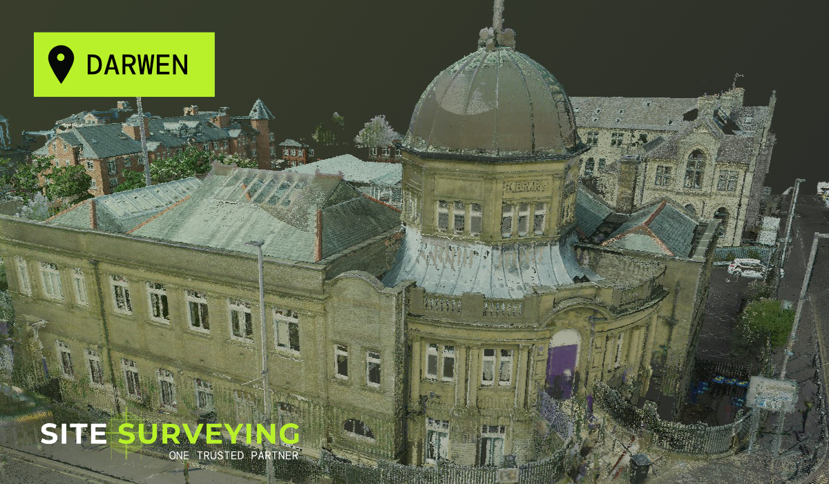
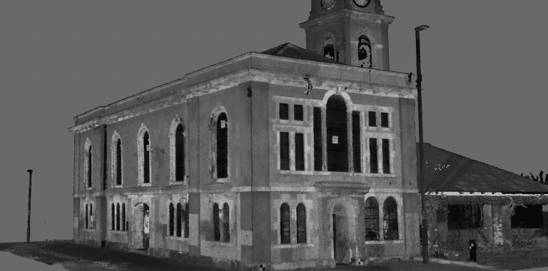
Reality Capture and the Modern Survey
Today, laser scanners can record millions of spatial data points within minutes, creating detailed point cloud models that represent buildings and environments in extraordinary accuracy. Instead of selectively measuring key points, surveyors can capture entire spaces – including irregular geometry, structural complexity, and subtle variations in level. For architectural teams, this has fundamentally changed how existing buildings are understood and explored. Point cloud data allows architects to:
Improve coordination with structural and MEP consultants. Surveyors have effectively moved from producing static drawings to creating rich digital representations of the built environment. Yet despite these technological advances, the surveyor’s role remains essentially the same: providing reliable information that enables design.
The Strength of the Partnership
The Strength of the Partnership
The relationship between architects and surveyors has endured for centuries because each discipline brings a complementary perspective. Surveyors focus on what exists. Architects focus on what could exist.
Design ideas must eventually align with physical reality – levels, structures, constraints and context – and surveyors provide the information that allows architects to navigate that reality. When this partnership works well, projects move forward with confidence. Design decisions are informed by accurate data, coordination improves across disciplines, and construction risks are reduced.
When it breaks down, uncertainty enters the process early and can remain present throughout the lifecycle of a project. The evolution from tape measures to point clouds has not changed the essence of this relationship. Instead, it has strengthened it by allowing architects and surveyors to collaborate with greater clarity and precision than ever before.
As technologies such as reality capture, digital twins and AI-assisted modelling continue to develop, the relationship between architects and surveyors will likely become even more integrated. Survey data is increasingly becoming the digital foundation upon which design, coordination and construction are built. Yet the principle remains exactly the same as it was in the time of Vitruvius, the rope stretchers of Egypt, and the mapmakers of London after the Great Fire:
And that understanding has always depended on the quiet but essential work of surveyors. Today, laser scanners can record millions of spatial data points within minutes, creating detailed point cloud models that represent buildings and environments in extraordinary accuracy. Instead of selectively measuring key points, surveyors can capture entire spaces – including irregular geometry, structural complexity, and subtle variations in level. For architectural teams, this has fundamentally changed how existing buildings are understood and explored.