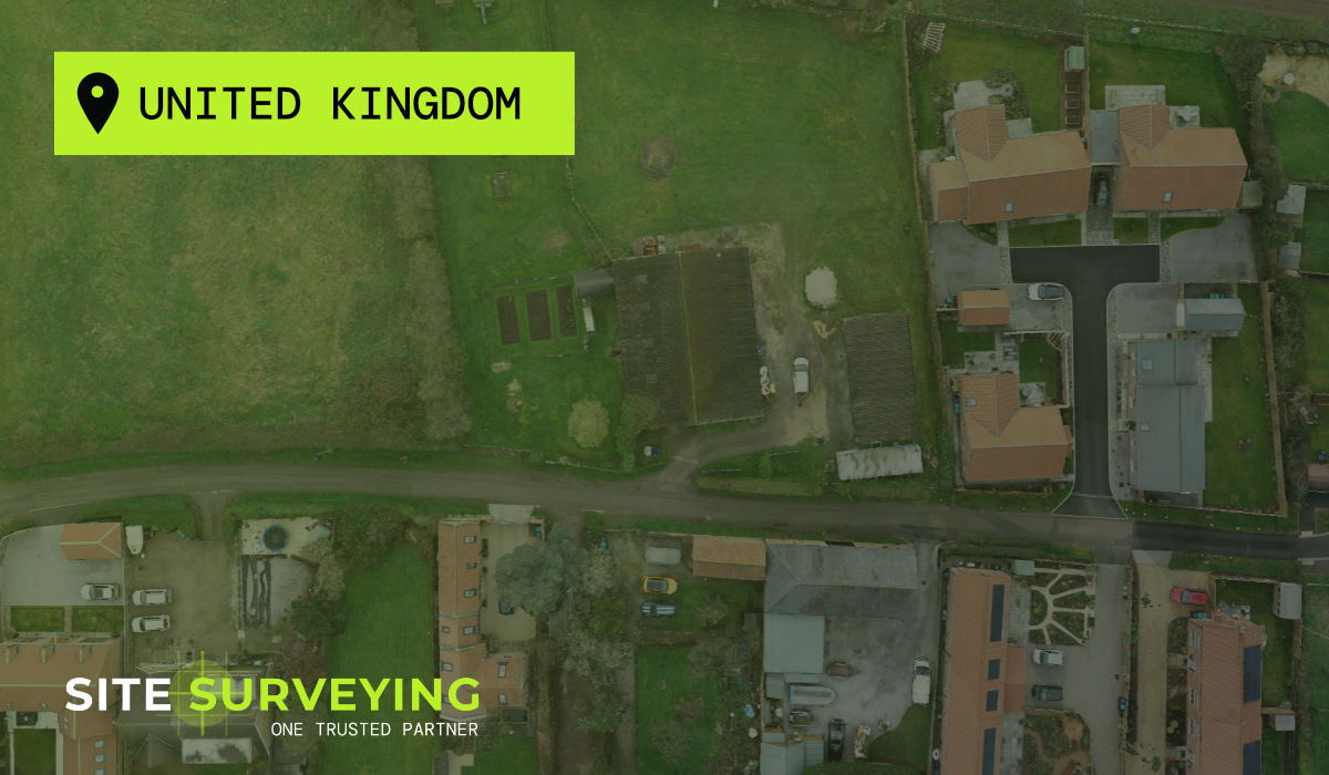
Leeds
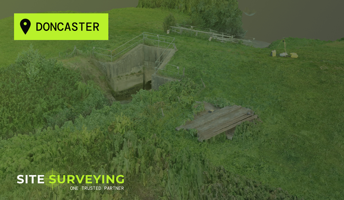
Leeds Doncaster
 Sheffield
 Bradford
 Hull
Hull Halifax
 Sunderland
 Newcastle
 Middlesborough
 Yorkshire Moors
 Teesside
 Cumbria
 Harrogate
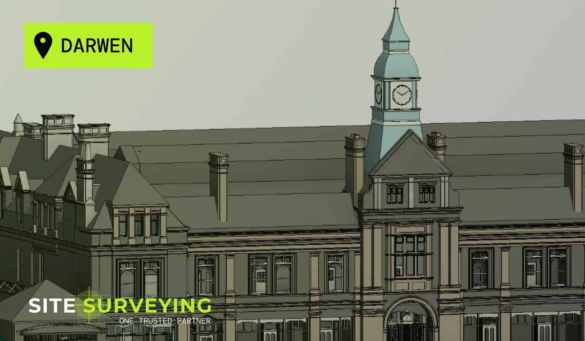
 York
York Yorkshire Dales
 Northumberland
 Goole
Goole Carlisle
 Keswick
 Kendal
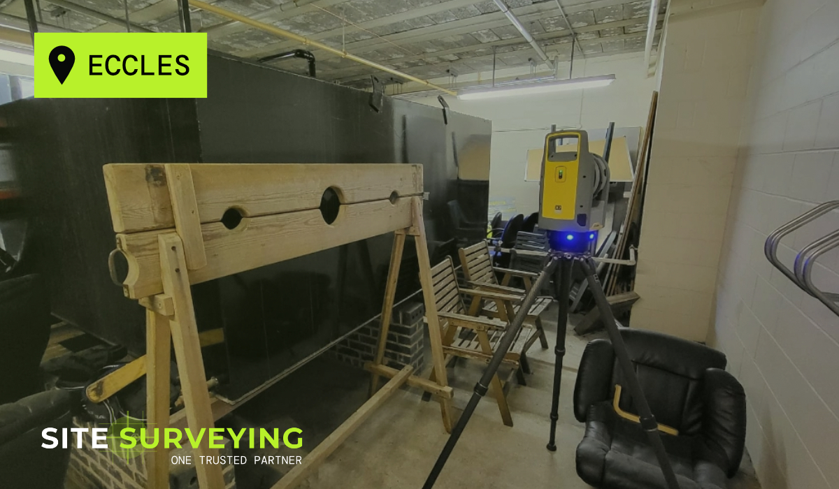
 Barrow-in-Furness
 Lancaster
 Blackpool
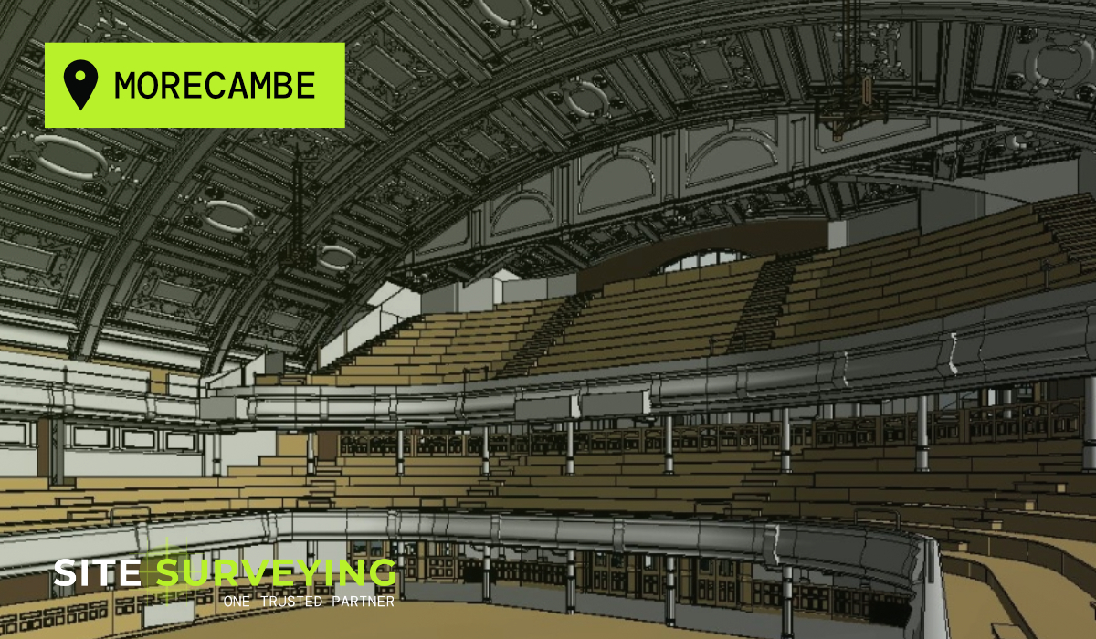
 Morecambe
 Southport
 Liverpool
 Wigan
Wigan Manchester
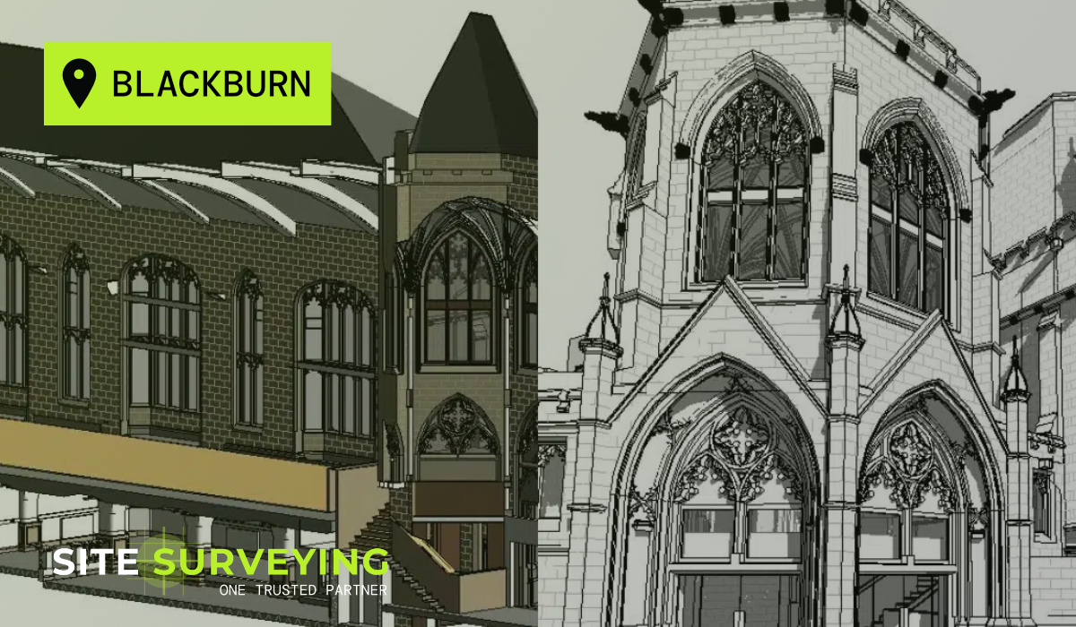
 Blackburn
 Burnley
 Forest of Bowland
 Oldham
 Chester
 Stockport
 Peak District
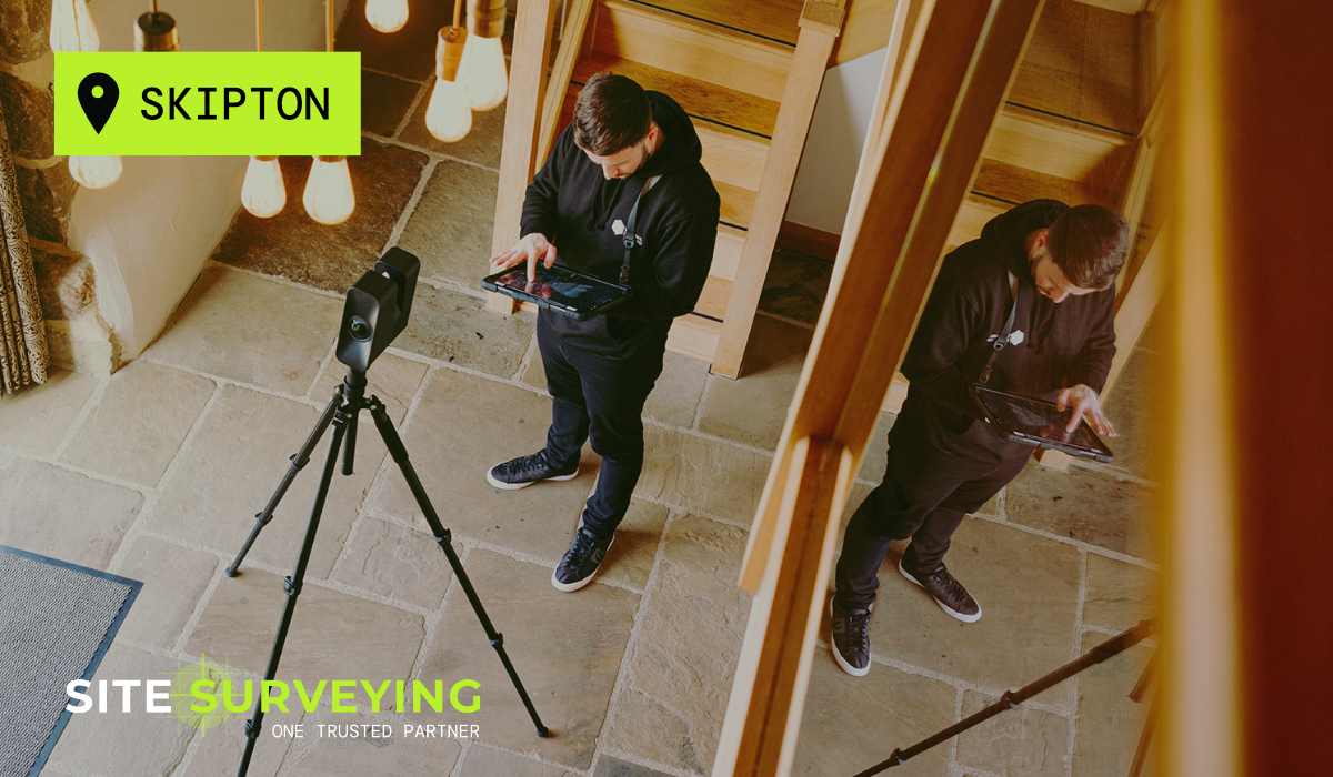
 Skipton
 Crewe
Crewe Rotherham
 Stoke
Stoke Driffield
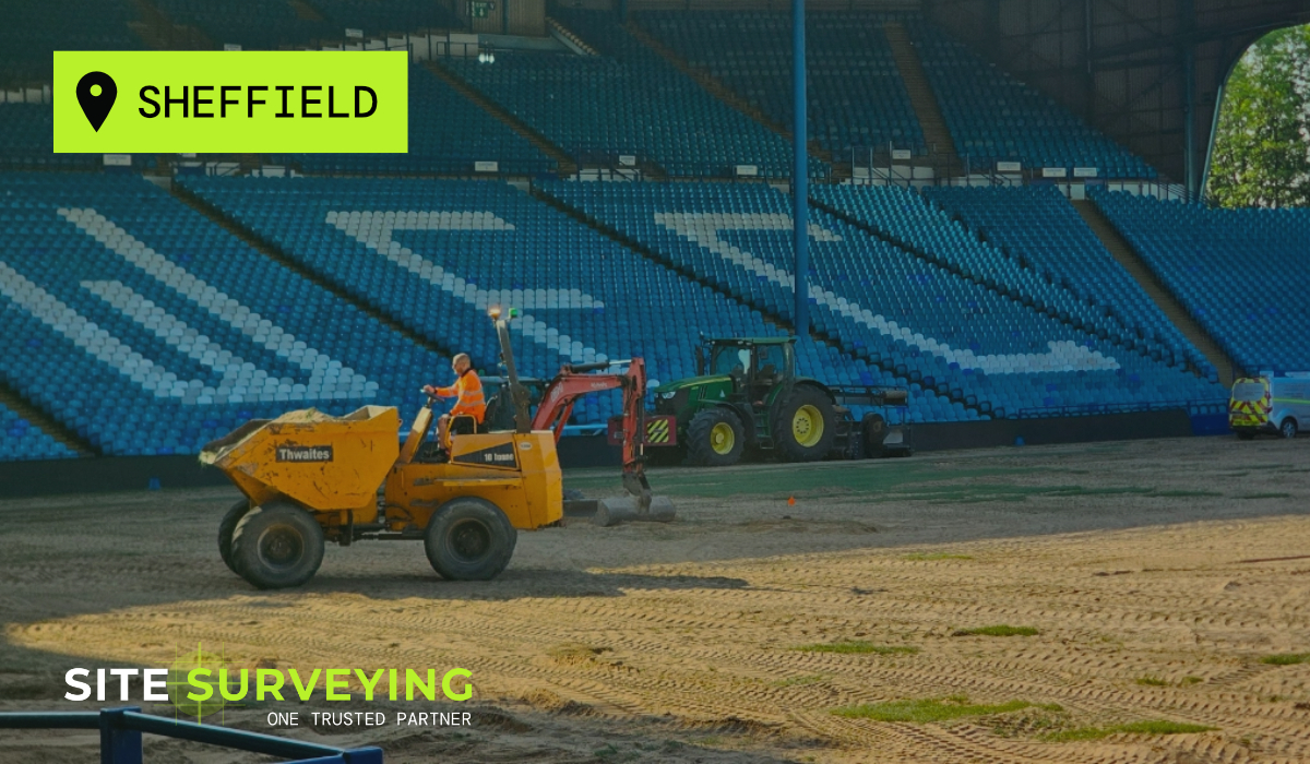
TOPOGRAPHICAL SURVEY
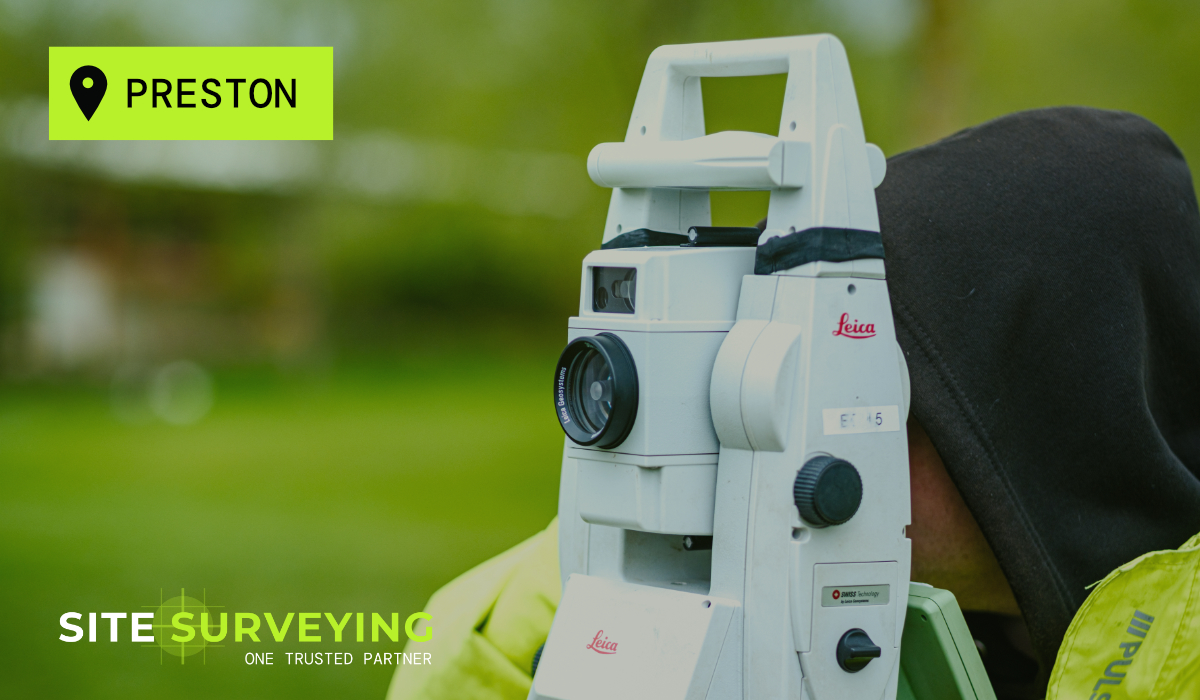
CONTROL NETWORK INSTALLATION
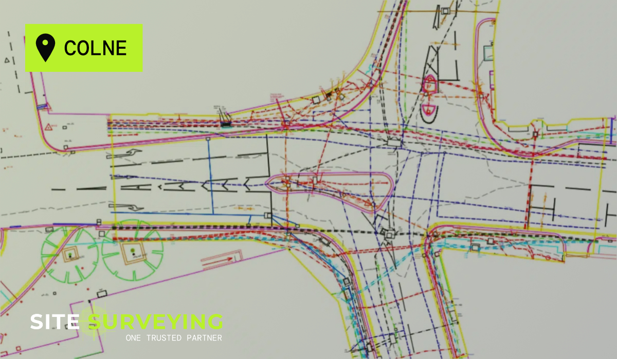
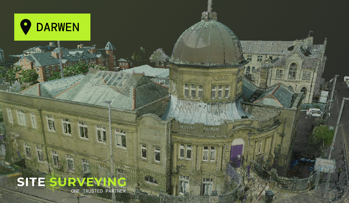
UTILITY MAPPING
The Brief
The Brief
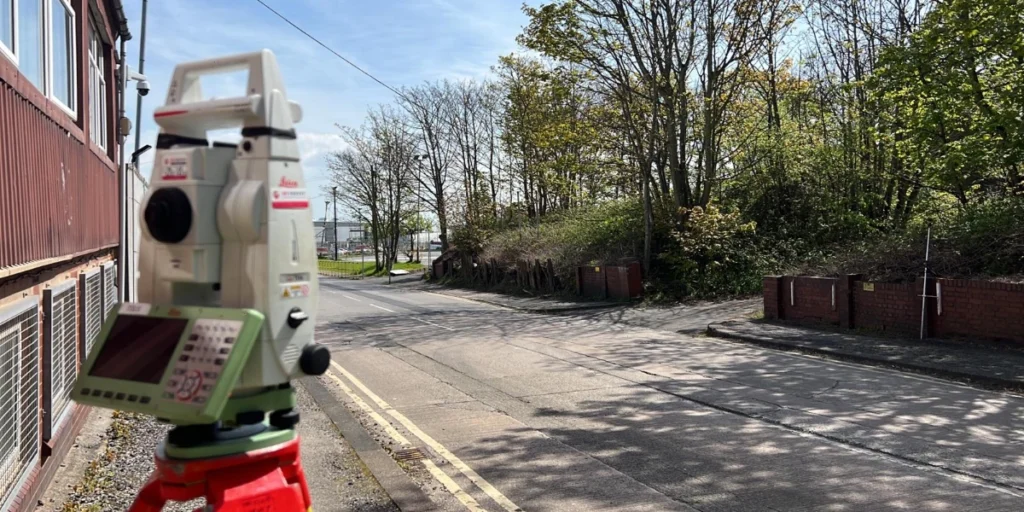
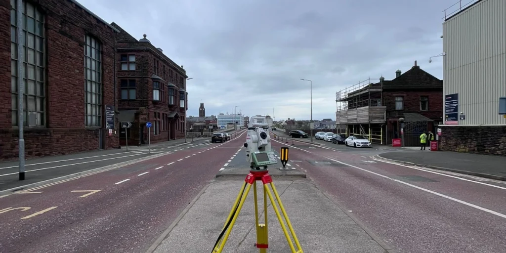
As part of a major facility expansion at the BAE Systems site in Barrow-in-Furness, Site Surveying Services was commissioned to deliver a comprehensive PAS 128 Quality Level B utility mapping and topographical survey to support the design and installation of a new on-site car park and associated infrastructure upgrades.
The survey formed the critical pre-construction data foundation for the expansion programme – giving the design team verified information on every underground service and full existing ground conditions before a single design decision was fixed. On a site of this sensitivity, there was no room for assumptions and no tolerance for incomplete data.
The Challenge
The Challenge
BAE Systems Barrow-in-Furness is one of the UK’s most significant defence manufacturing facilities – a live, security-critical operational estate with decades of buried infrastructure, restricted access protocols and zero tolerance for disruption to the operations around the survey.
- Live operational environment requiring strict adherence to security protocols, access restrictions and coordination with facility management throughout.
- Service-dense ground - decades of buried power, telecoms, gas, water and process services, not all accurately represented in existing utility records.
- Complex phasing - survey activities needed to be coordinated around operational schedules without causing any disruption.
- Single-pass delivery - return visits were not an option; all data had to be captured completely in the planned programme.
- Integrated deliverable requirement - topographic and utility datasets needed to be produced as a single coordinated georeferenced output.
Our Approach
Our Approach
Site Surveying deployed a multi-disciplinary team – topographic surveyors and PAS 128 utility mapping specialists working concurrently – operating from a shared control network established at the start of the programme. The concurrent approach allowed both datasets to be captured and verified in a single planned programme without requiring separate site visits for each discipline.
Primary and secondary site control installed and verified before any survey activity began – providing the shared coordinate framework for both the topographic and utility mapping teams.
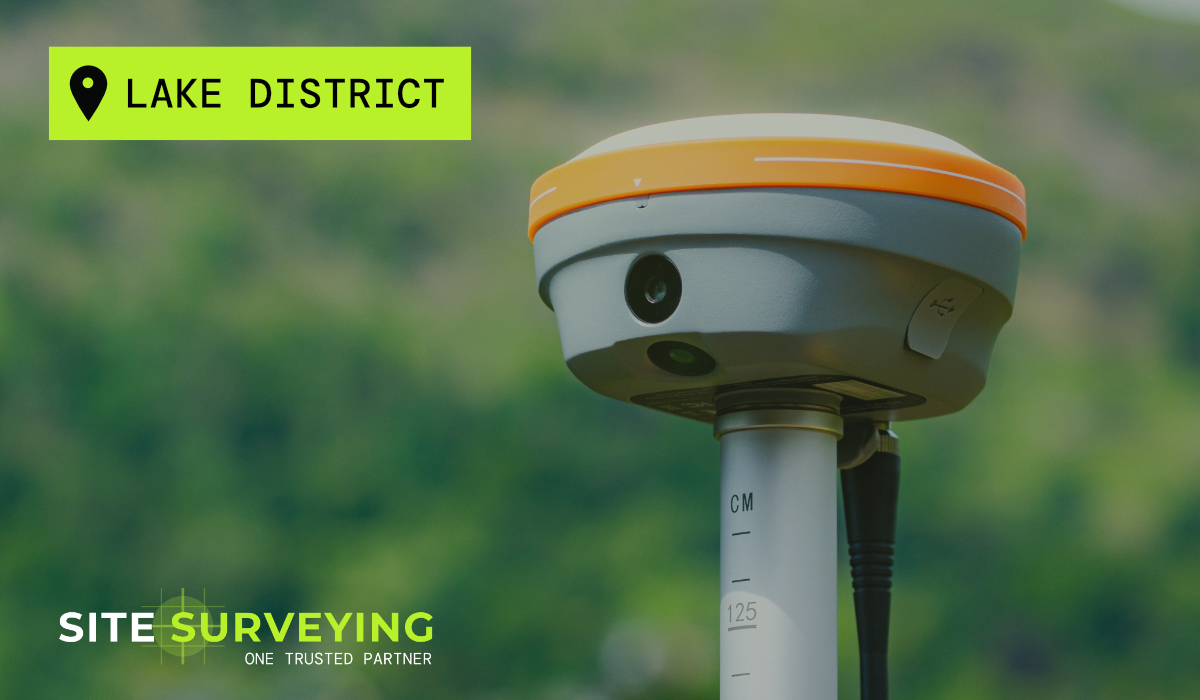
Ground levels, surface features, boundaries and drainage captured using CHCNAV GPS and Leica total station instrumentation to the accuracy and detail required for the parking and access infrastructure design.
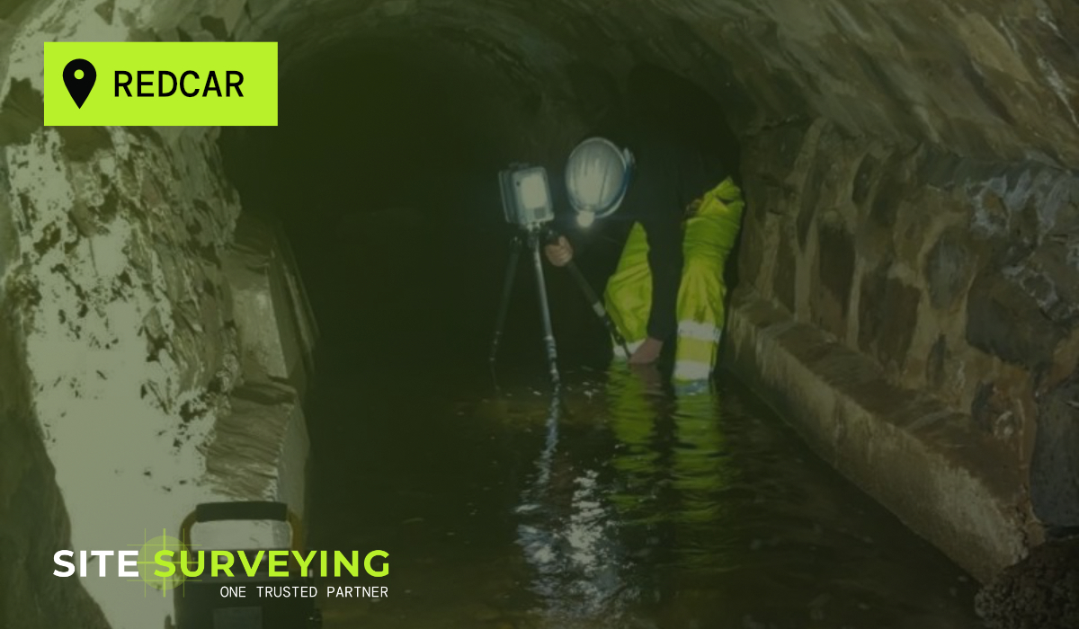
Full detection survey using ground-penetrating radar (GPR) and electromagnetic location (EML), with physical verification of services at designated test points using vacuum excavation to achieve Quality Level B.
Each utility trace verified before integration into the final dataset. Cross-discipline coordination between the topographic and utility mapping teams throughout, with daily briefings to confirm programme alignment.
The Solution
The Solution
The survey was delivered in a single phased programme, coordinated around the BAE Systems operational schedule. Phased access windows were agreed in advance, allowing the survey team to work systematically across the site without any unplanned presence in restricted areas. Cross-discipline coordination between the topographic and utility mapping teams was maintained throughout.
- PAS 128 Quality Level B utility survey - every service physically verified, depth-confirmed and documented.
- Full topographic survey of the site - ground levels, features, boundaries, drainage and contextual detail.
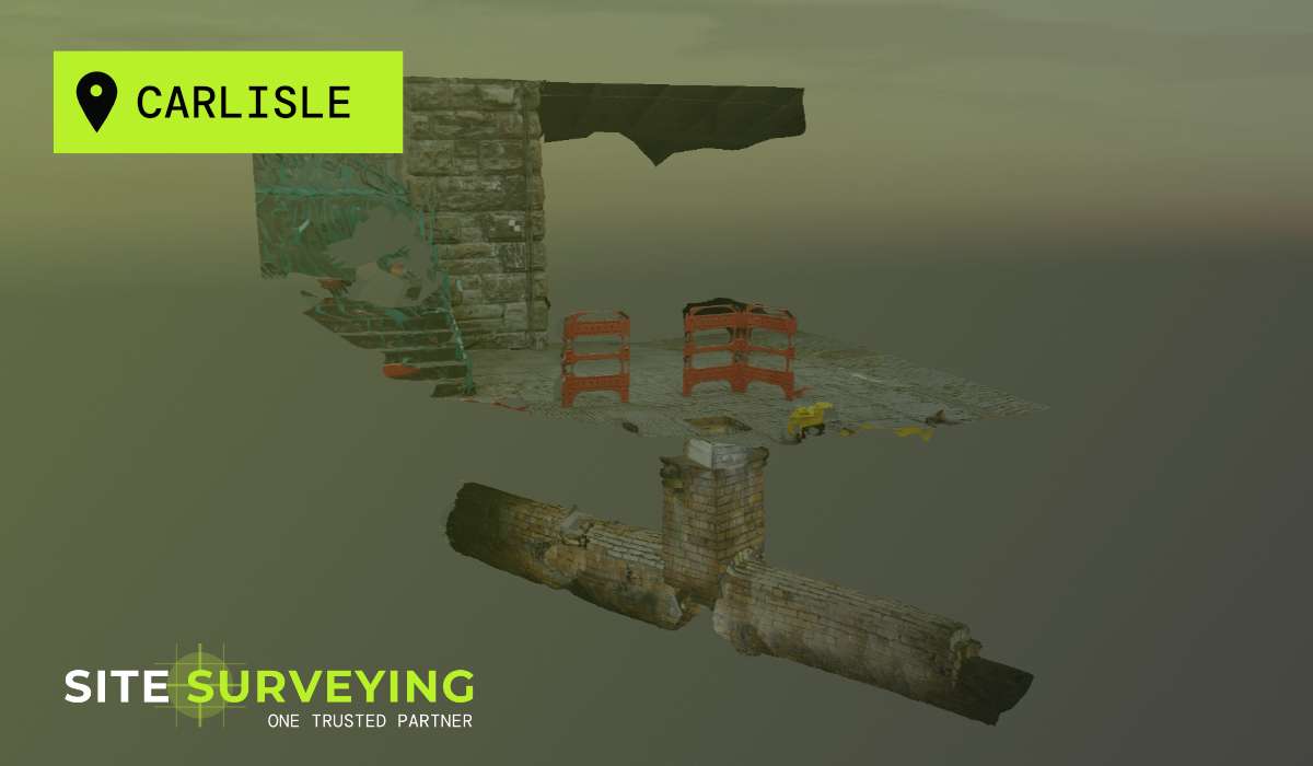
- Single unified georeferenced dataset - topographic and utility data in one coordinated AutoCAD DWG output.
- 2D and 3D utility presentation - services plotted in plan and 3D with classification, depth and confidence coding.
- Full methodology statement - equipment, accuracy, detection methods and quality level confirmation.
- Zero return visits - all data captured in the planned programme without any supplementary access requirement.
The Outcome
The Outcome
The completed survey gave BAE Systems and their design partners a verified, accurate picture of the existing site – above and below ground – before any design decisions were fixed. The unified georeferenced dataset eliminated the coordination risk that arises when topographic and utility data are produced separately, in different coordinate systems, at different times.