


 Leeds
Leeds
 Doncaster
 Sheffield
 Bradford
 Hull
Hull
 Halifax
 Sunderland
 Newcastle
 Middlesborough
 Yorkshire Moors
 Teesside
 Cumbria
 Harrogate
 York
York
 Yorkshire Dales
 Northumberland
 Goole
Goole
 Carlisle
 Keswick
 Kendal
 Barrow-in-Furness
 Lancaster
 Blackpool
 Morecambe
 Southport
 Liverpool
 Wigan
Wigan
 Manchester
 Blackburn
 Burnley
 Forest of Bowland
 Oldham
 Chester
 Stockport
 Peak District
 Skipton
 Crewe
Crewe
 Rotherham
 Stoke
Stoke
 Driffield
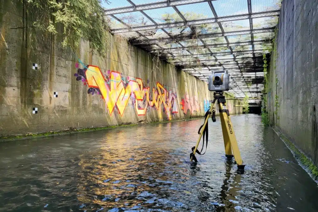
Bathymetric and hydrographic surveying services for rivers, reservoirs, and water assets. Accurate data with minimal disruption.
Our bathymetric and hydrographic surveying services provide accurate underwater data for infrastructure, environmental and water management projects. From rivers, reservoirs and culverts to drainage networks and flood mitigation schemes, we deliver precise depth, profile and condition information that supports confident design and decision-making.
Using advanced hydrographic technology, including unmanned survey vessels and GNSS positioning, we help clients reduce risk, improve safety and plan effectively in complex aquatic environments.
Your one trusted partner. North West and Lancashire land surveyors with nationwide capability.