


 Leeds
Leeds
 Doncaster
 Sheffield
 Bradford
 Hull
Hull
 Halifax
 Sunderland
 Newcastle
 Middlesborough
 Yorkshire Moors
 Teesside
 Cumbria
 Harrogate
 York
York
 Yorkshire Dales
 Northumberland
 Goole
Goole
 Carlisle
 Keswick
 Kendal
 Barrow-in-Furness
 Lancaster
 Blackpool
 Morecambe
 Southport
 Liverpool
 Wigan
Wigan
 Manchester
 Blackburn
 Burnley
 Forest of Bowland
 Oldham
 Chester
 Stockport
 Peak District
 Skipton
 Crewe
Crewe
 Rotherham
 Stoke
Stoke
 Driffield
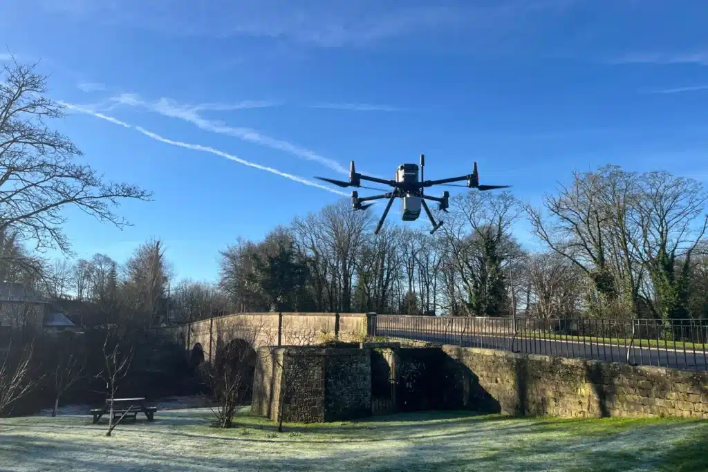
Our UAV operations prioritise safety and compliance, providing efficient site mapping, progress monitoring, and inspections. With fully qualified pilots adhering to CAA regulations, we capture detailed data across vast areas that traditional methods can’t achieve, including hard-to-reach locations like pitched roofs.
Ideal for applications such as quarries, earthworks, and heritage projects, our advanced photogrammetric software delivers data in various formats tailored to your needs.
Take your project to the next level with our expert UAV services.
Your one trusted partner. North West and Lancashire land surveyors with nationwide capability.