


 Leeds
Leeds Doncaster
 Sheffield
 Bradford
 Hull
Hull Halifax
 Sunderland
 Newcastle
 Middlesborough
 Yorkshire Moors
 Teesside
 Cumbria
 Harrogate
 York
York Yorkshire Dales
 Northumberland
 Goole
Goole Carlisle
 Keswick
 Kendal
 Barrow-in-Furness
 Lancaster
 Blackpool
 Morecambe
 Southport
 Liverpool
 Wigan
Wigan Manchester
 Blackburn
 Burnley
 Forest of Bowland
 Oldham
 Chester
 Stockport
 Peak District
 Skipton
 Crewe
Crewe Rotherham
 Stoke
Stoke Driffield
Accrington Goes Green with Urban Pocket Park Renovations
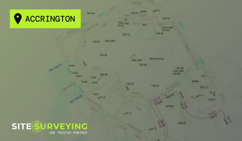
Case Study • Topographical Survey Green spaces have evolved from simple nice-to-haves to vital additions in urban design. For Accrington Town Centre, the proposal to renew and renovate recreational spaces ensured the need for accurate and tailored surveying solutions to lay the groundwork for a successful development. Our team was commissioned by Hyndburn Borough Council […]
Blackburn Youth Zone
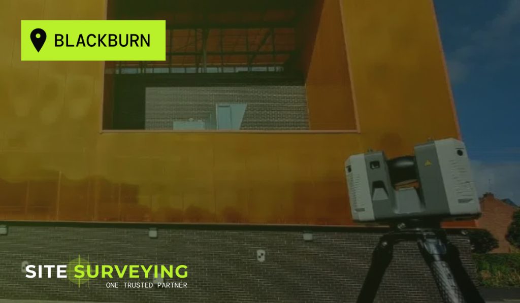
Topographical Survey for the Blackburn Youth Zone We recently undertook an extensive topographical survey and 3D laser scanning project to support the planned expansion and development of a multi-use facility at Blackburn Youth Zone. This initiative is part of a larger effort to enhance the functionality and versatility of the space, ensuring it meets the […]
What is a topographical survey?
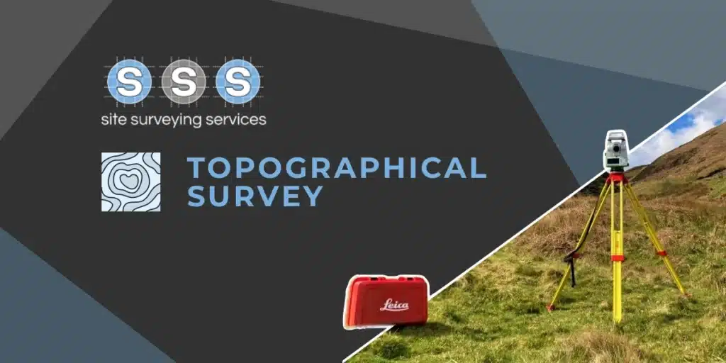
A topographical or land survey is a type of land survey that maps and records the physical features of a piece of land, including the contours, vegetation, buildings, bodies of water, and other features. This is very similar to Ordnance Survey however, these surveys are more specialised and produced to higher scales, e.g. 1:200 rather […]