


 Leeds
Leeds Doncaster
 Sheffield
 Bradford
 Hull
Hull Halifax
 Sunderland
 Newcastle
 Middlesborough
 Yorkshire Moors
 Teesside
 Cumbria
 Harrogate
 York
York Yorkshire Dales
 Northumberland
 Goole
Goole Carlisle
 Keswick
 Kendal
 Barrow-in-Furness
 Lancaster
 Blackpool
 Morecambe
 Southport
 Liverpool
 Wigan
Wigan Manchester
 Blackburn
 Burnley
 Forest of Bowland
 Oldham
 Chester
 Stockport
 Peak District
 Skipton
 Crewe
Crewe Rotherham
 Stoke
Stoke Driffield
What is a Biodiversity Net Gain survey and what data does it need?
Biodiversity Net Gain is now mandatory for most new development in England under the Environment Act 2021. A BNG baseline requires accurate habitat mapping — identifying, classifying and measuring all habitat types on and around the site before development begins. This typically requires a topographic survey to establish accurate site areas and boundaries, along with […]
What survey do I need for a flood risk assessment?
A flood risk assessment typically requires a topographic survey of the site and its surrounding area — capturing ground levels, contours, drainage features, watercourses, culverts, flood plain extents and all features relevant to surface water flow. For sites adjacent to or including watercourses, a bathymetric survey capturing riverbed levels, channel cross-sections and flow profiles may […]
What Makes a Reliable Land Survey Essential for Civil Engineering Projects?
A reliable land survey provides the accurate ground data that civil engineering projects depend on. Without precise levels, coordinates and site control, design errors, setting out issues and costly delays can occur during construction. Civil engineering schemes – including highways, drainage networks, bridges and infrastructure – require survey data that is consistent, verifiable and compatible […]
What types of surveys are needed before renovating or restoring a historic building?
Heritage restoration projects typically require a combination of specialist survey disciplines, rather than a single survey type. Depending on the site, surveys may include: Measured building surveys for internal layouts and elevations 3D laser scanning for complex architectural detail Topographical surveys to map external levels, access, and surroundings Structural monitoring surveys where movement or settlement […]
How do topographical and measured building surveys integrate to support complex urban redevelopment projects?

In complex urban redevelopment — whether transforming historic buildings, brownfield sites, or mixed-use districts — the integration of topographical and measured building surveys is critical to developing a holistic understanding of both the site and its structures. Topographical surveys map ground features, contours and context across the site and its surroundings, while measured building surveys […]
How does regular monitoring surveying reduce risk in construction and infrastructure projects?
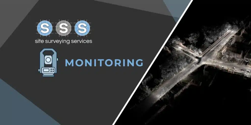
Monitoring surveys are specialised programmes that track movement or deformation of critical features over time — such as embankments, retaining walls, buildings or bridges — using instruments like digital levels, total stations or GNSS networks. This discipline is vital in protecting safety and project continuity, especially in areas prone to settlement, vibration or ground movement […]
Why are utility mapping and underground services surveys essential before any excavation or civil works begin?

Underground utility mapping is not just a nice-to-have — it’s essential for safety, regulatory compliance and cost control on any construction or infrastructure project. Utility surveys detect and accurately locate existing services such as water mains, electricity cables, fibre, gas pipelines and drainage before digging or construction starts. Technologies like ground penetrating radar (GPR) and […]
How do site surveys support sustainable design and planning outcomes?
Comprehensive site surveys play a crucial role in sustainable design and planning by providing accurate information about the existing environment, landform, infrastructure and natural features before any design work begins. For architects and planners, survey data — such as detailed topographical maps and aerial/DJI drone imagery — informs decisions about land contours, vegetation, hydrology, and […]
Monitoring Equipment Detects Mini Earthquake in Lancashire and the Lake District
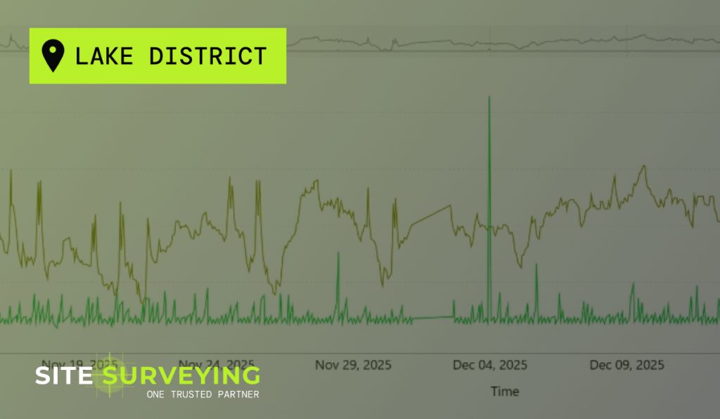
Site Surveying Services has recorded clear evidence of the mini earthquake that occurred late on Tuesday 3 December at approximately 23:23, affecting parts of Lancashire and the Lake District. The seismic event, which was reported by residents across the region, was later covered by the BBC, confirming a small but noticeable earthquake in the area. […]
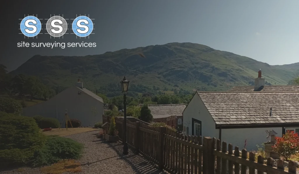
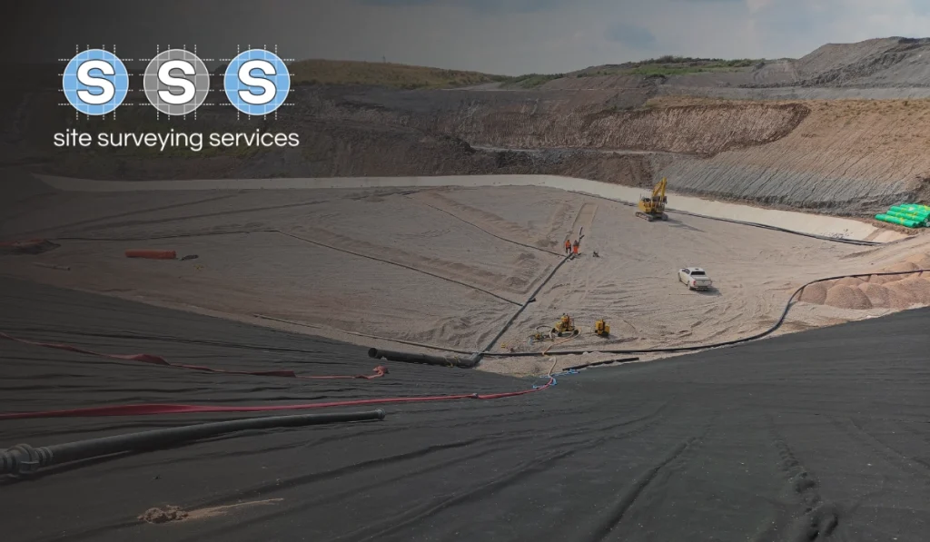
Comprehensive Utility Mapping & Topographical Survey – BAE Systems Facility, Barrow-in-Furness

OVERVIEW: As part of a major facility expansion at the BAE Systems site in Barrow-in-Furness, Site Surveying Services was commissioned to deliver a comprehensive utility mapping and topographical survey to support the design and installation of a new on-site car park and associated infrastructure upgrades. This large-scale survey formed a critical foundation for future development, […]