
 Leeds
Leeds Doncaster
 Sheffield
 Bradford
 Hull
Hull Halifax
 Sunderland
 Newcastle
 Middlesborough
 Yorkshire Moors
 Teesside
 Cumbria
 Harrogate
 York
York Yorkshire Dales
 Northumberland
 Goole
Goole Carlisle
 Keswick
 Kendal
 Barrow-in-Furness
 Lancaster
 Blackpool
 Morecambe
 Southport
 Liverpool
 Wigan
Wigan Manchester
 Blackburn
 Burnley
 Forest of Bowland
 Oldham
 Chester
 Stockport
 Peak District
 Skipton
 Crewe
Crewe Rotherham
 Stoke
Stoke Driffield


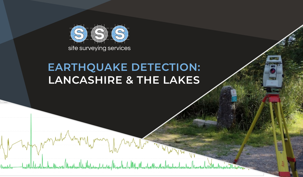
Surveying technology has evolved rapidly, and cutting-edge tools are transforming how projects are planned, designed and executed. 3D laser scanning (LiDAR) captures millions of points per second to generate ultra-detailed point clouds and models, enabling precise geometry capture of terrain and complex structures. UAV/drone surveying extends this capability to aerial mapping, delivering high-resolution orthomosaics and digital elevation models rapidly across large sites. Real-time kinematic GNSS systems and robotic total stations allow faster control establishment and sub-centimetre accuracy, essential for integration into BIM and civil engineering workflows.
These technologies improve the speed, accuracy and richness of survey data, enabling deliverables such as interactive 3D models, BIM-ready files, volumetric analysis for earthworks, and integrated GIS datasets. For architects and planners, this means more informed design decisions earlier in the process; for developers and engineers, it translates to better risk identification, clash detection and construction coordination — ultimately enhancing project efficiency and reducing lifecycle risk.