
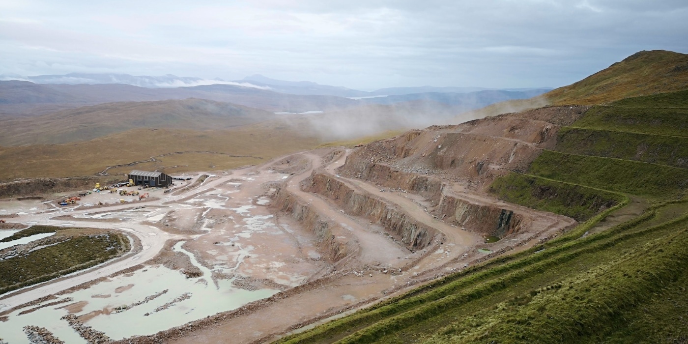
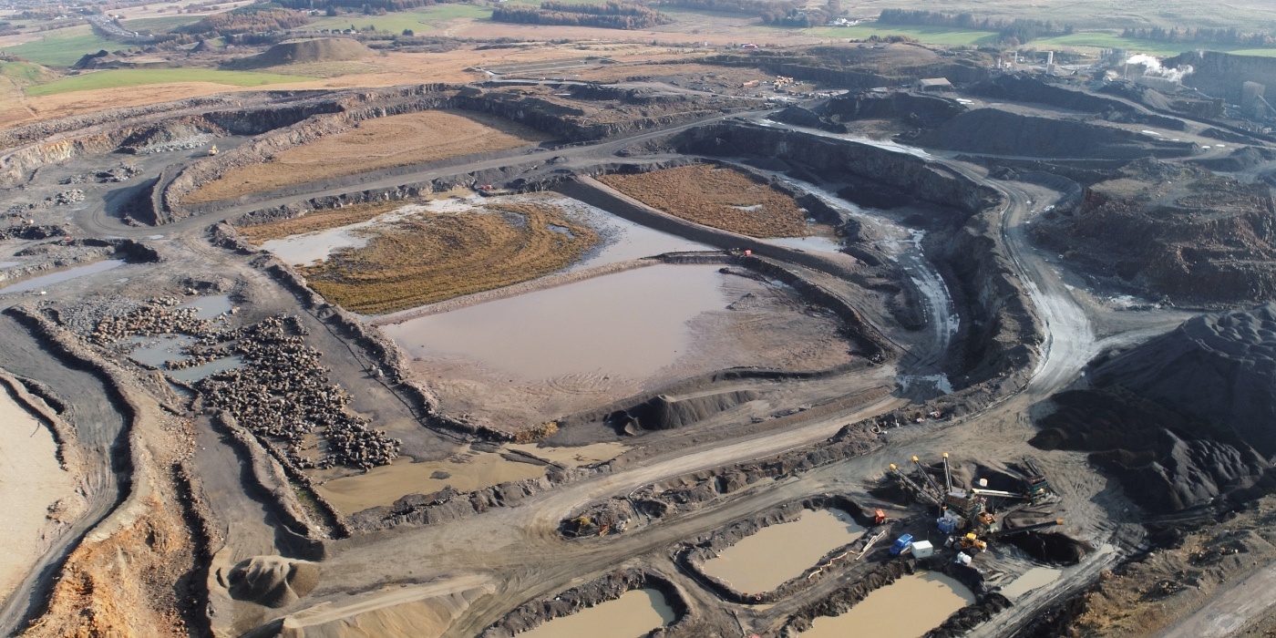

Drone surveying and aerial mapping are technologies that use unmanned aerial vehicles (UAVs), commonly known as drones, to collect data for surveying and mapping purposes.
In drone surveying, the drone is equipped with high-precision sensors, cameras and LiDAR Units, which is used to collect data about the topography, features, and conditions of a specific area. This data can be used to create digital elevation models (DEMs), orthomosaic maps, and other types of maps and visualisations that provide a detailed view of the surveyed area. Drone surveying is often faster, more cost-effective, and safer than traditional ground-based surveying methods.
In aerial mapping, the drone is equipped with high-resolution cameras and sensors, and is used to create aerial images and maps of the surveyed area. This data can be used to create topographical maps, 3D models, and other types of visualisations that provide a bird’s eye view of the area. Aerial mapping is often used in a variety of applications, including land management, urban planning, environmental monitoring, and disaster response.
Both drone surveying and aerial mapping have several advantages over traditional ground-based surveying and mapping methods, including increased efficiency and accuracy, improved safety, reduced costs, and the ability to survey areas that are difficult or impossible to access using ground-based methods.
Your one trusted partner. North West and Lancashire land surveyors with nationwide capability.