Professional Site Engineering Services Across the North West & UK
Based in Lancashire, Operating Nationwide
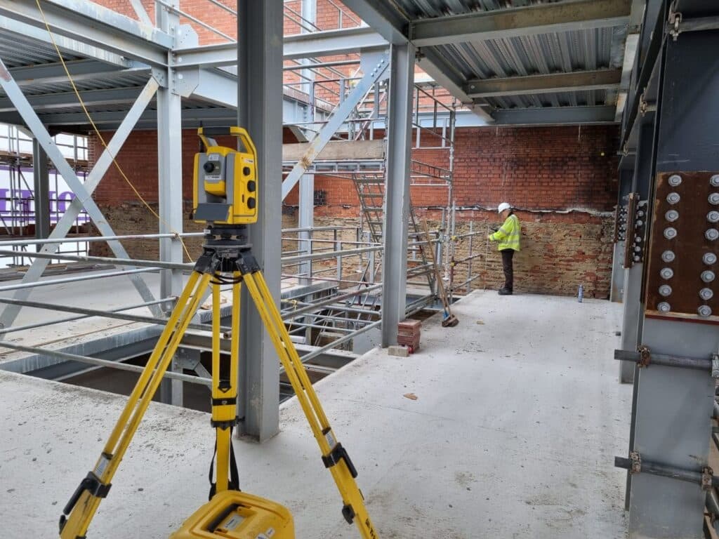
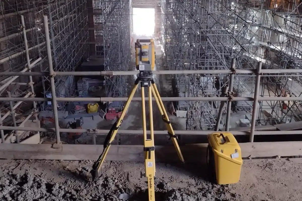
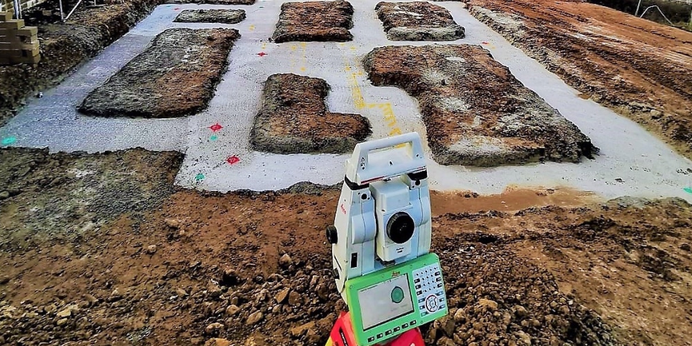
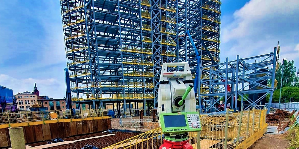
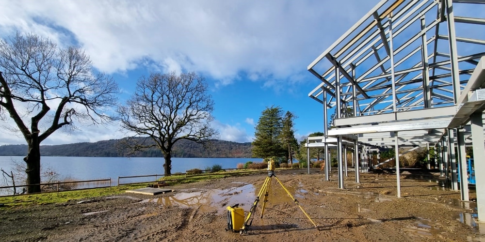
Setting out and site engineering are fundamental to the success of every construction project. At Site Surveying Services, we provide experienced setting out engineers and engineering surveyors to projects across Lancashire and the wider UK.
With strong, long-standing relationships across the civil engineering and construction sectors, we supply skilled professionals who help keep projects accurate, efficient and on programme. Whether your scheme involves heavy civils, housing developments, infrastructure, or commercial builds, we provide the right expertise to support your project from start to completion.
What Is Setting Out?
Setting out is the process of transferring design data from drawings and digital models onto the ground. It ensures that structures, roads, drainage systems and infrastructure are built precisely in accordance with design specifications.
Accurate setting out is essential for:
Foundations and structural frames
Roads and highways
Drainage and utilities
Steel and concrete structures
Earthworks and levels
Errors in setting out can result in costly delays and rework. Our experienced engineers ensure precision from the outset.
Experienced Setting Out Engineers for All Sectors
Site Surveying Services provides multidisciplinary site engineers capable of supporting projects across:
Setting out engineers and site engineering are important aspects of the construction process, responsible for ensuring that construction projects are executed according to the design
Site Surveying Services work with a variety of different clients on different projects, and we pride ourselves on delivering accurate, efficient, cost effective surveys ensuring our clients receive the best possible product.
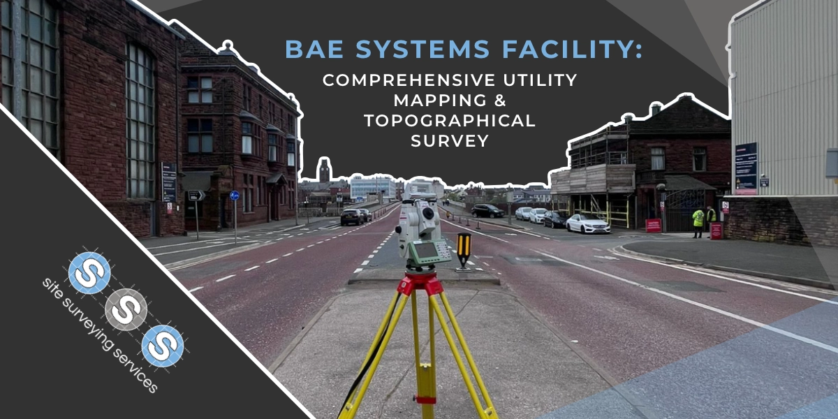
Using the latest equipment, we can provide the location of underground services in either 2D or 3D. We use state of the art Ground Penetrating Radar and Electromagnetic Location to assist your project when service avoidance may be a potential issue on site.
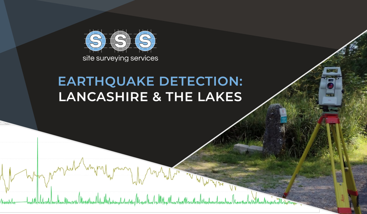
Is there any movement? That is the question that is asked before and during any monitoring scheme. That is the reason we undertake monitoring, to check for movement.
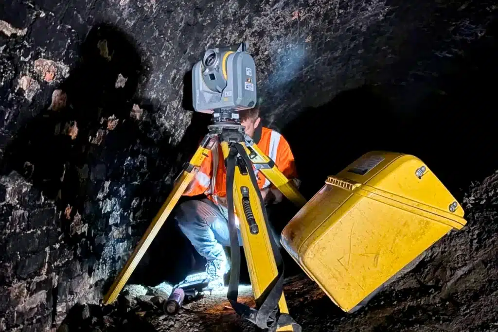
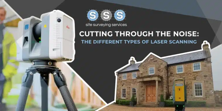
For mass collection of accurate survey data then nothing beats scanning. Using 3D laser Scanners the surveyors can capture millions of points per second with the creation of a PointCloud.
Bread and butter work for us! Having a strong relationship with many civil engineering companies we have a very strong team of Site Engineers and Engineering Surveyors working for us.
At Site Surveying Services we have vast experience in this field. Be it a large highway scheme or a private property we can advise on what accuracies are required from your control network depending on what work you are carrying out and the tolerances you are carrying this work out to.
Large areas of ground can be covered capturing the most unbelievable detail which would just be unable to be recorded with traditional methods. Our clients have really seen the benefit of what UAV surveys bring to the table.
Machine control systems have been around for years now and Site Surveying Services have been utilising these systems from the very start. We realised the benefits of these systems early on when working with earthworks contractors.
Being a leader in the Surveying and Engineering sector we have a fleet of modern survey equipment at our disposal which is second to none. We carry the latest GNSS Base Stations, GNSS Rovers, Robotic Total Stations, Laser Scanners, Digital Levels, and Dual Grade Lasers.
Virtual Tour 3D is an immersive experience which instantly transports your clients to your business, and guides them through your space, creating a seamless and captivating experience.
BIM (Building Information Modelling) model creation in surveying refers to the process of using specialised software to create a 3D digital model of a building or infrastructure project that includes information about the project’s design, construction, and maintenance.


 Leeds
Leeds Doncaster
 Sheffield
 Bradford
 Hull
Hull Halifax
 Sunderland
 Newcastle
 Middlesborough
 Yorkshire Moors
 Teesside
 Cumbria
 Harrogate
 York
York Yorkshire Dales
 Northumberland
 Goole
Goole Carlisle
 Keswick
 Kendal
 Barrow-in-Furness
 Lancaster
 Blackpool
 Morecambe
 Southport
 Liverpool
 Wigan
Wigan Manchester
 Blackburn
 Burnley
 Forest of Bowland
 Oldham
 Chester
 Stockport
 Peak District
 Skipton
 Crewe
Crewe Rotherham
 Stoke
Stoke Driffield