From an industrial unit through to a historic house or a semi-detached home, Site Surveying Services provides professional measured building surveys for projects of all sizes and sectors.
Measured building surveys deliver accurate as-built information that supports design, refurbishment, planning and construction. Using the latest surveying technology, we produce reliable building drawings and digital models tailored to your requirements.
Whether you need floor plans, elevations, sections or BIM-ready deliverables, our experienced team ensures you receive accurate, efficient and cost-effective survey outputs.
What Is a Measured Building Survey?
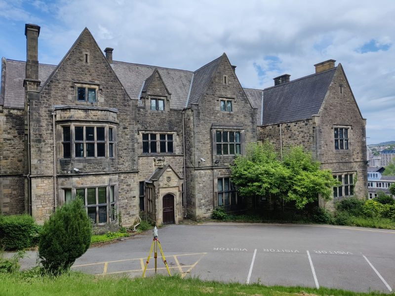
A measured building survey is the process of capturing the precise geometry and layout of a building or structure. It records internal and external features to produce accurate drawings or 3D models for design and construction purposes.
Measured building surveys are essential for:
Refurbishment and retrofit projects
Architectural design and renovation
Planning applications
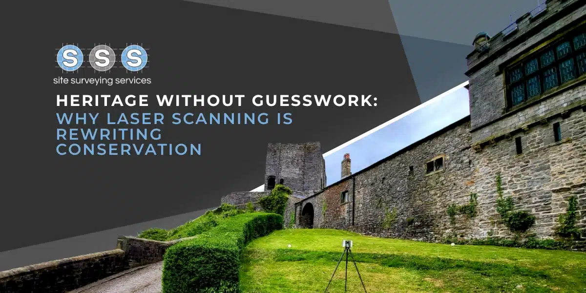
Heritage and conservation work
Asset management and BIM workflows
All surveys are completed to your specification, with expert guidance on the most efficient and cost-effective approach to achieve the deliverables you need.
Our Measured Building Survey Services
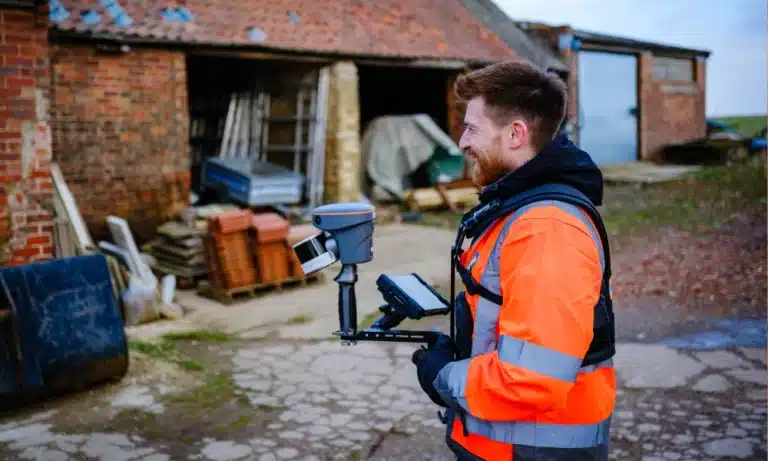
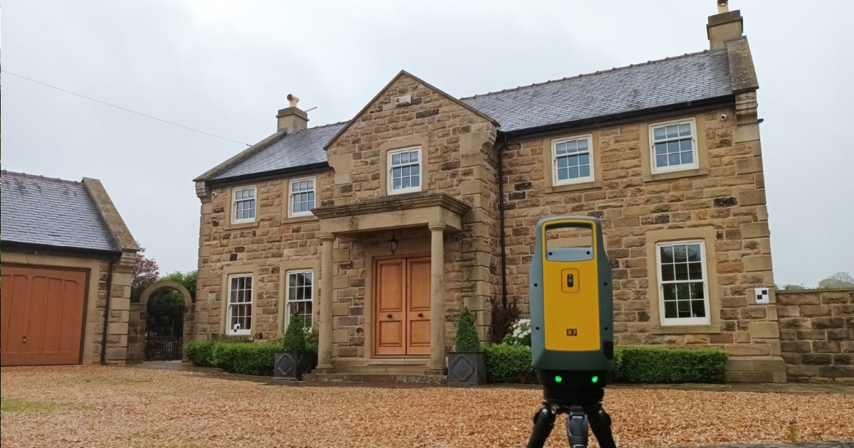
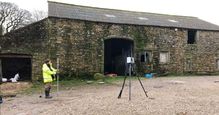
At Site Surveying Services, we utilise modern survey methods including laser scanning and point cloud capture to deliver highly accurate building data.
We can produce:
Internal floor plans
External and internal elevations
Building sections
Street scenes and façade drawings
Lease plans
Internal volume calculations
BIM and Revit-ready models
We work closely with clients and project teams to ensure outputs meet design standards and integrate seamlessly into wider project workflows.
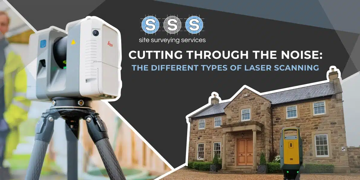
Latest Survey Technology & BIM Compatibility
We pride ourselves on using the latest surveying technology to deliver accurate and efficient results. Our measured building surveys can be produced using:
Terrestrial laser scanning
for complex exteriors
SLAM scanning
for complex interiors
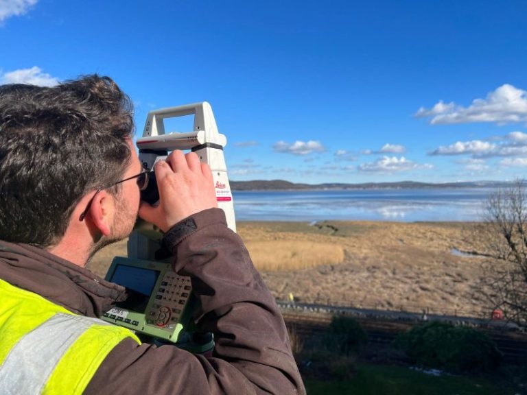
Total station control
for verification
Point cloud
processing for 3D modelling
We pride ourselves on using the latest surveying technology to deliver accurate and efficient results. Our measured building surveys can be produced using:
Deliverables & Output Formats
Measured building survey deliverables typically include:
PDF drawings
CAD plans (DWG / DXF)
Point cloud datasets (LAS / E57 / RCP)
BIM Models (Revit / IFC)
All deliverables are clearly structured, accurately layered and ready for immediate use by architects, engineers and contractors.
Applications of Measured Building Surveys
The measured building surveys we produce can be used for a wide variety of purposes, including:
Architectural refurbishment design
Planning and development proposals
Heritage building documentation
Commercial fit-outs and retrofit schemes
Lease and legal plan requirements
Digital twin and BIM coordination
Whatever your project type, we tailor the survey specification to suit your goals.
Measured Building Surveys for Key Sectors
Site Surveying Services delivers professional measured building surveys across a wide range of sectors. Our multidisciplinary experience allows us to adapt survey specifications to suit the technical requirements of each industry.
We regularly provide measured building surveys for:
Our experience across these sectors ensures we deliver the right level of detail - whether you require simple floor plans or fully coordinated BIM models.
Why Choose Site Surveying Services for measured building surveys?
We deliver measured building surveys that provide the clarity and accuracy your project depends on.
All Buildings
Surveys for all building types - residential, commercial, industrial and heritage
Accurate
Accurate floor plans, elevations, sections and BIM models
technology
Latest laser scanning and point cloud technology
Workflow
Cost-effective solutions tailored to your specification
Site Surveying Services work with a variety of different clients on different projects, and we pride ourselves on delivering accurate, efficient, cost effective surveys ensuring our clients receive the best possible product.
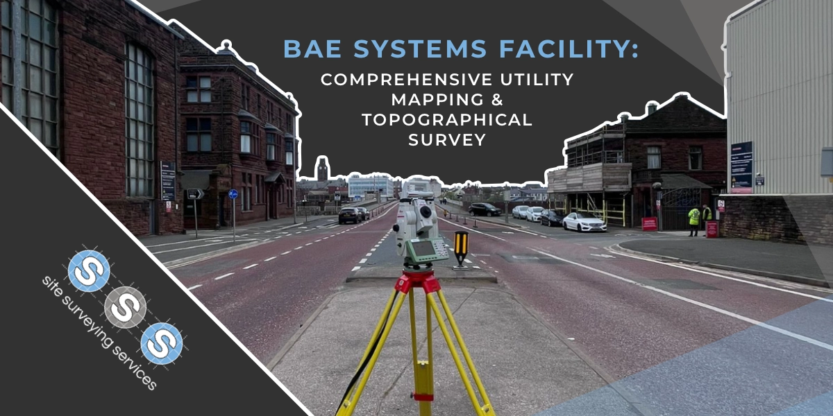
Using the latest equipment, we can provide the location of underground services in either 2D or 3D. We use state of the art Ground Penetrating Radar and Electromagnetic Location to assist your project when service avoidance may be a potential issue on site.
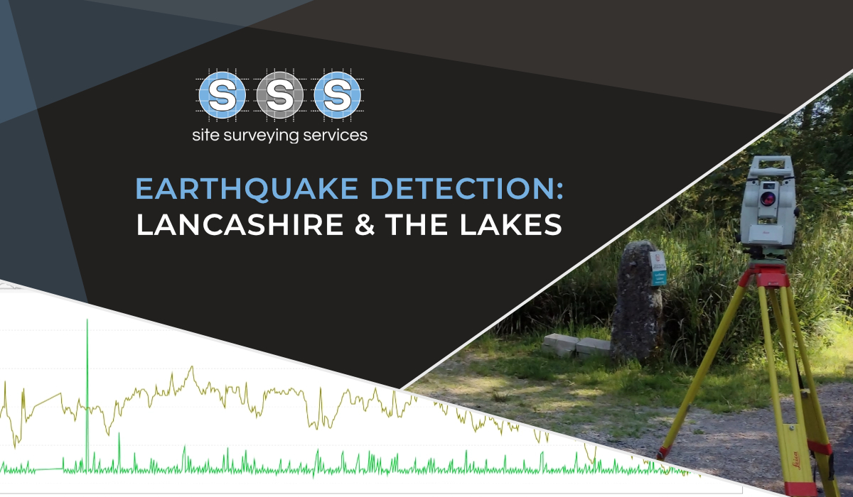
Is there any movement? That is the question that is asked before and during any monitoring scheme. That is the reason we undertake monitoring, to check for movement.
For mass collection of accurate survey data then nothing beats scanning. Using 3D laser Scanners the surveyors can capture millions of points per second with the creation of a PointCloud.
Bread and butter work for us! Having a strong relationship with many civil engineering companies we have a very strong team of Site Engineers and Engineering Surveyors working for us.
At Site Surveying Services we have vast experience in this field. Be it a large highway scheme or a private property we can advise on what accuracies are required from your control network depending on what work you are carrying out and the tolerances you are carrying this work out to.
Large areas of ground can be covered capturing the most unbelievable detail which would just be unable to be recorded with traditional methods. Our clients have really seen the benefit of what UAV surveys bring to the table.
Machine control systems have been around for years now and Site Surveying Services have been utilising these systems from the very start. We realised the benefits of these systems early on when working with earthworks contractors.
Being a leader in the Surveying and Engineering sector we have a fleet of modern survey equipment at our disposal which is second to none. We carry the latest GNSS Base Stations, GNSS Rovers, Robotic Total Stations, Laser Scanners, Digital Levels, and Dual Grade Lasers.
Virtual Tour 3D is an immersive experience which instantly transports your clients to your business, and guides them through your space, creating a seamless and captivating experience.
BIM (Building Information Modelling) model creation in surveying refers to the process of using specialised software to create a 3D digital model of a building or infrastructure project that includes information about the project’s design, construction, and maintenance.


 Leeds
Leeds Doncaster
 Sheffield
 Bradford
 Hull
Hull Halifax
 Sunderland
 Newcastle
 Middlesborough
 Yorkshire Moors
 Teesside
 Cumbria
 Harrogate
 York
York Yorkshire Dales
 Northumberland
 Goole
Goole Carlisle
 Keswick
 Kendal
 Barrow-in-Furness
 Lancaster
 Blackpool
 Morecambe
 Southport
 Liverpool
 Wigan
Wigan Manchester
 Blackburn
 Burnley
 Forest of Bowland
 Oldham
 Chester
 Stockport
 Peak District
 Skipton
 Crewe
Crewe Rotherham
 Stoke
Stoke Driffield