


 Leeds
Leeds
 Doncaster
 Sheffield
 Bradford
 Hull
Hull
 Halifax
 Sunderland
 Newcastle
 Middlesborough
 Yorkshire Moors
 Teesside
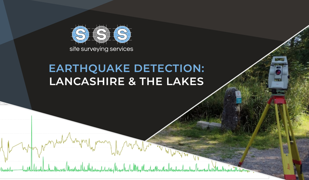
 Cumbria
 Harrogate
 York
York
 Yorkshire Dales
 Northumberland
 Goole
Goole
 Carlisle
 Keswick
 Kendal
 Barrow-in-Furness
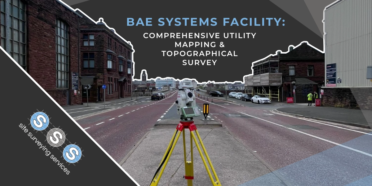
 Lancaster
 Blackpool
 Morecambe
 Southport
 Liverpool
 Wigan
Wigan
 Manchester
 Blackburn
 Burnley
 Forest of Bowland
 Oldham
 Chester
 Stockport
 Peak District
 Skipton
 Crewe
Crewe
 Rotherham
 Stoke
Stoke
 Driffield
Ripon Office
Head Office - Clitheroe
Matlock Office
Newcastle Office
Bristol Office

A nationwide surveying and engineering company operating in both the public and private sectors.

We’re proud to have a friendly, approachable team dedicated to delivering exceptional service from start to finish.

We have created some answers to a series of questions which explains a little more about our services.
At Site Surveying Services, we support civil engineers by delivering precise survey data that underpins safe, efficient, and buildable design solutions.
This resource hub brings together practical guidance, real project examples, and downloadable tools to help civil engineers make informed decisions from feasibility through to delivery.
From early feasibility assessments to detailed technical design, survey data plays a critical role in civil engineering projects. Inaccurate or incomplete information can affect drainage design, earthworks calculations, alignment, and long-term performance.
Our surveys are delivered to agreed specifications and tolerances, ensuring the data is suitable for engineering analysis, modelling, and design validation.
Survey information is supplied in structured CAD and digital formats that integrate seamlessly into engineering workflows.
As designs develop, we remain available to provide clarification, updates, and additional survey support where required.
Levels, features, boundaries, and terrain modelling
Reducing risk from buried assets
Complex structures and existing assets
Construction validation and compliance
Reliable site control
We support civil engineers across the UK by delivering accurate, reliable survey data that stands up to technical scrutiny and real-world application across the full project lifecycle. Our surveys provide the robust, dependable information required to design, coordinate, and deliver infrastructure with confidence.
At Site Surveying Services, we understand the analytical and technical demands placed on civil engineering teams. We work closely with consulting engineers, infrastructure designers, and project teams to deliver survey data that aligns with engineering standards, design methodologies, and regulatory requirements. From early feasibility through detailed design and construction support, our approach is tailored to each scheme.
Our experience supporting civil engineering projects allows us to anticipate the level of detail required at every stage. Whether informing drainage design, highways and utilities coordination, earthworks modelling, or structural interfaces, we deliver clear, precise survey outputs that integrate seamlessly into engineering calculations, drawings, and BIM environments.
We provide engineering and land surveying services across a wide range of sectors and site conditions, from constrained urban infrastructure to large linear and multi-disciplinary schemes. Our topographical surveys, control networks, and point cloud data give engineers confidence that designs are based on accurate, verifiable site information.
Quality, communication, and consistency are central to our service. By combining technical surveying expertise with a strong understanding of civil engineering workflows, we help ensure projects progress efficiently from design through to construction. For civil engineers seeking a dependable surveying partner, we provide the data that supports technically sound and deliverable solutions.