

Land and engineering surveyors based in Lancashire
Topographical Surveys
Topographical Surveys Lancashire
Accurate Topographical Survey Services Across the UK
Accurate Topographical Survey Services Across the UK
What is a topographical survey?
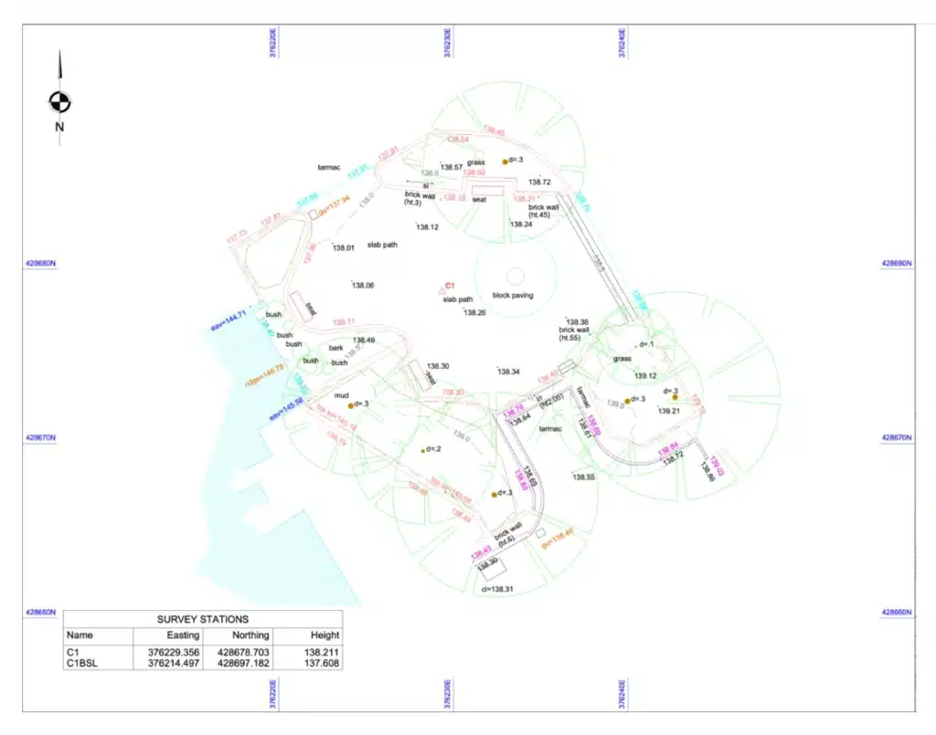
A topographical survey is a detailed measurement and mapping of a site’s physical features and ground levels. It records both natural features including contours, trees, hedgerows and watercourses, and man-made features including buildings, roads, boundaries, kerbs, drainage and services at surface level.
Accurate topographical survey data reduces design risk, prevents costly programme surprises, improves coordination between consultants and contractors, and ensures compliance with planning and regulatory standards. A topographical survey from Site Surveying forms the reliable foundation for:
Planning applications
OS-controlled, georeferenced site data that supports planning submissions and is defensible if challenged by the local planning authority.
Architectural and engineering design
Accurate ground levels, boundaries and contextual features that give your design team verified data to work from, at the scale and accuracy the design stage requires.
Construction and infrastructure projects
Pre-construction survey data for highways, civils, brownfield development and urban regeneration programmes across Lancashire and the North West.
Land development and feasibility studies
Topographical survey at acquisition stage that informs the development brief and de-risks the purchase decision before design costs are committed.
across Lancashire and the North West
Our Topographical Survey Services
Our Topographical Survey Services
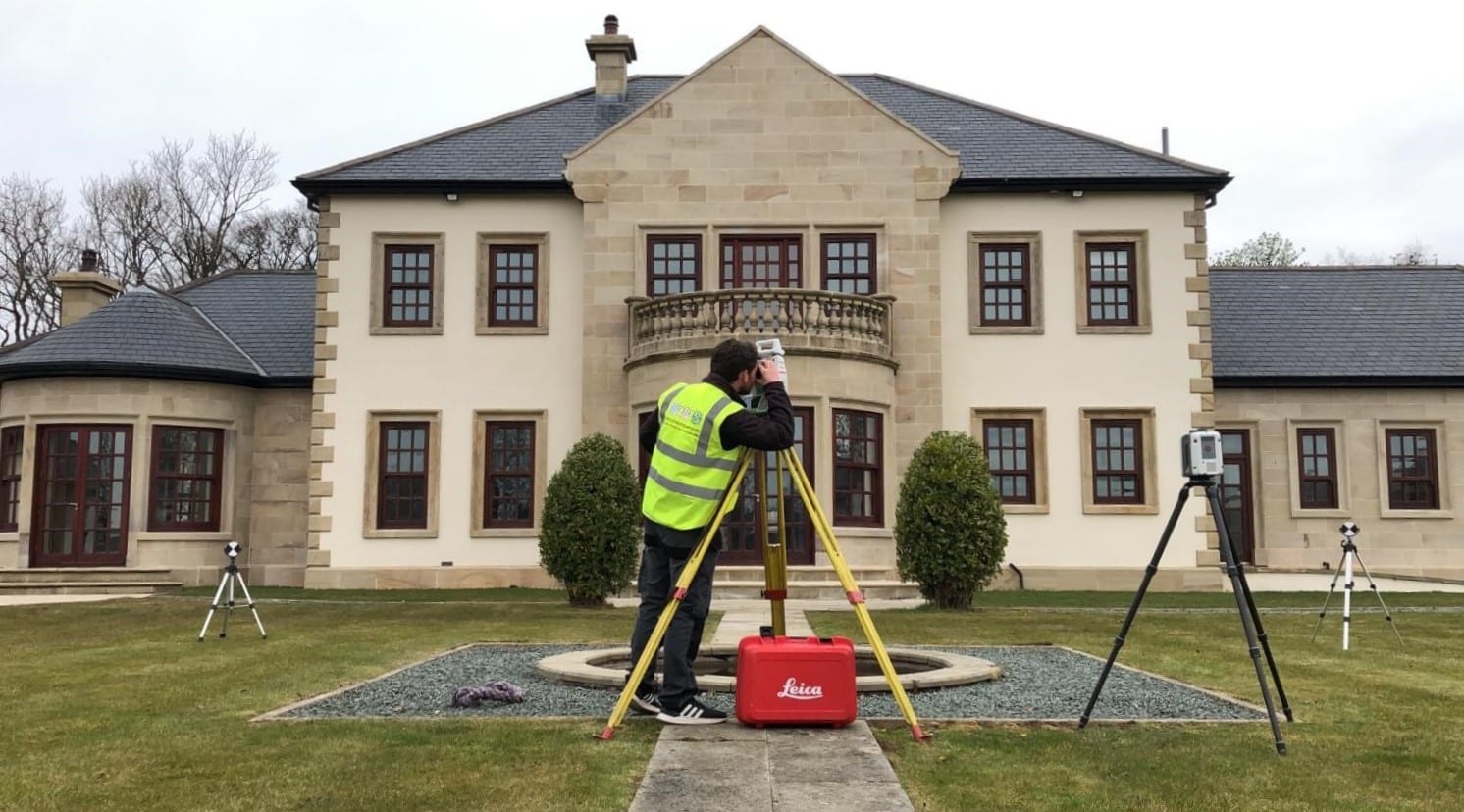
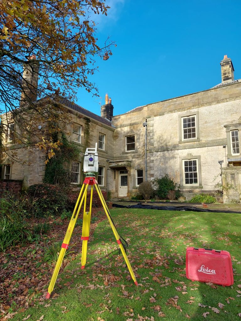
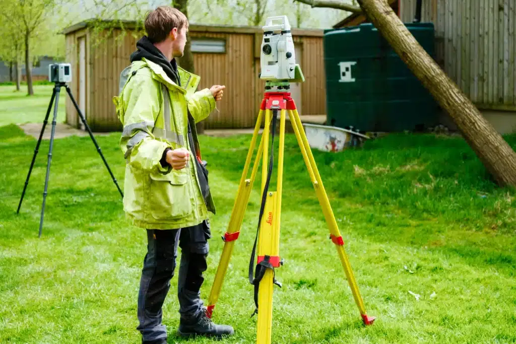
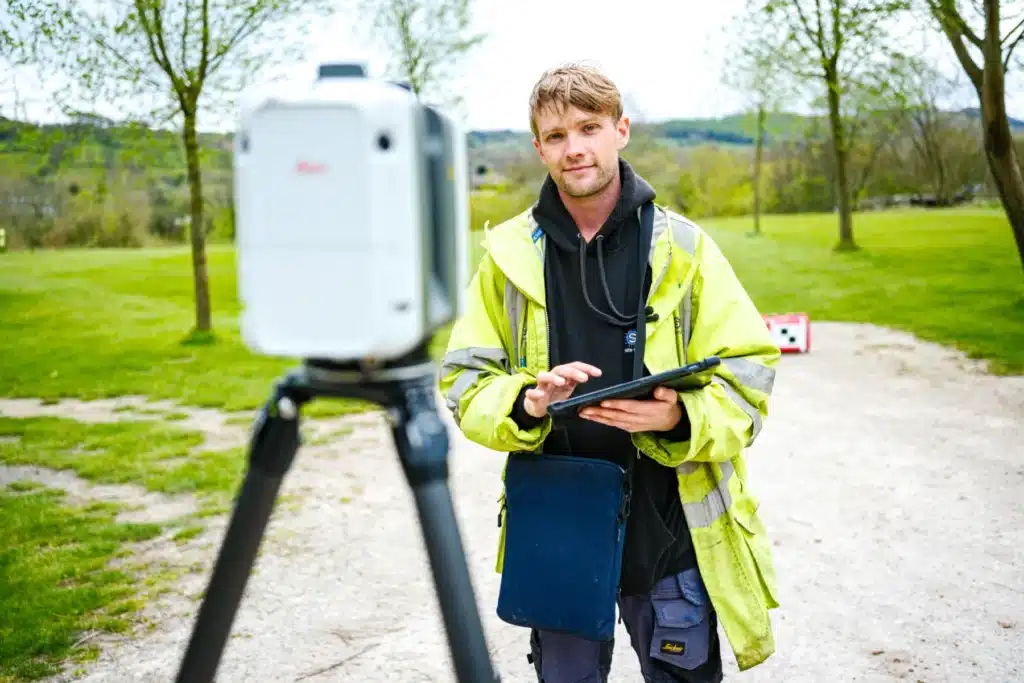
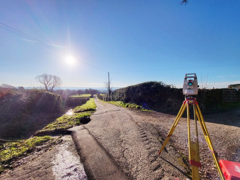
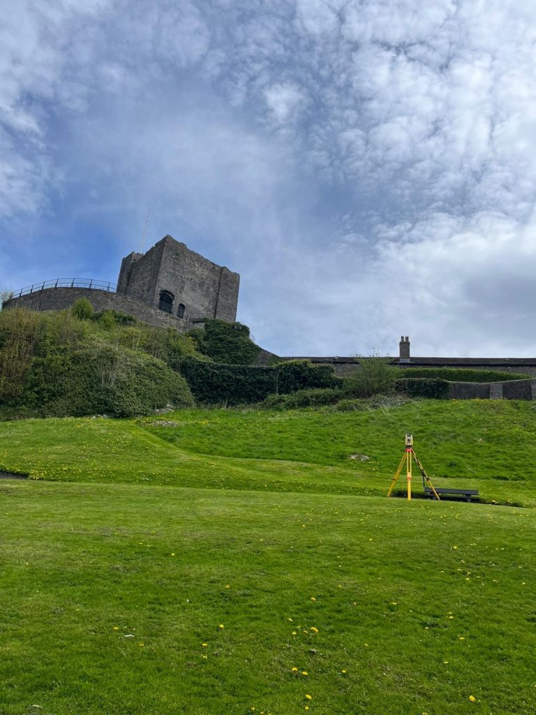
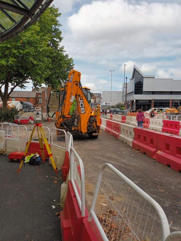
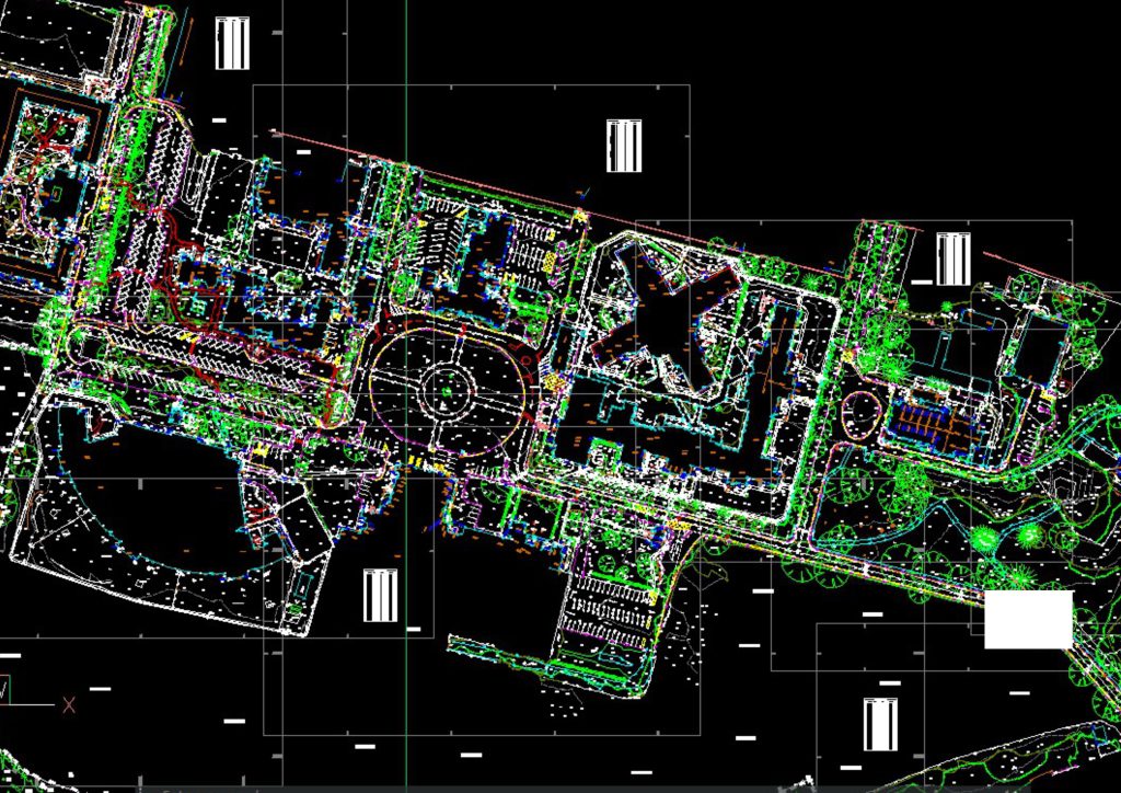
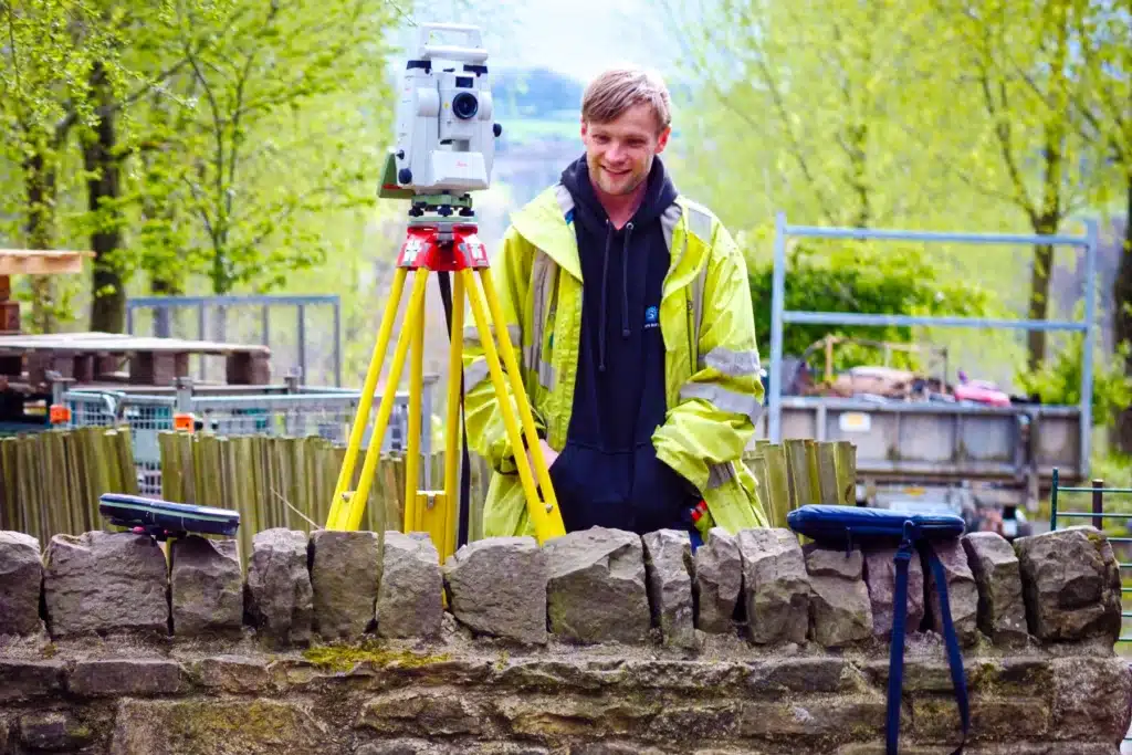
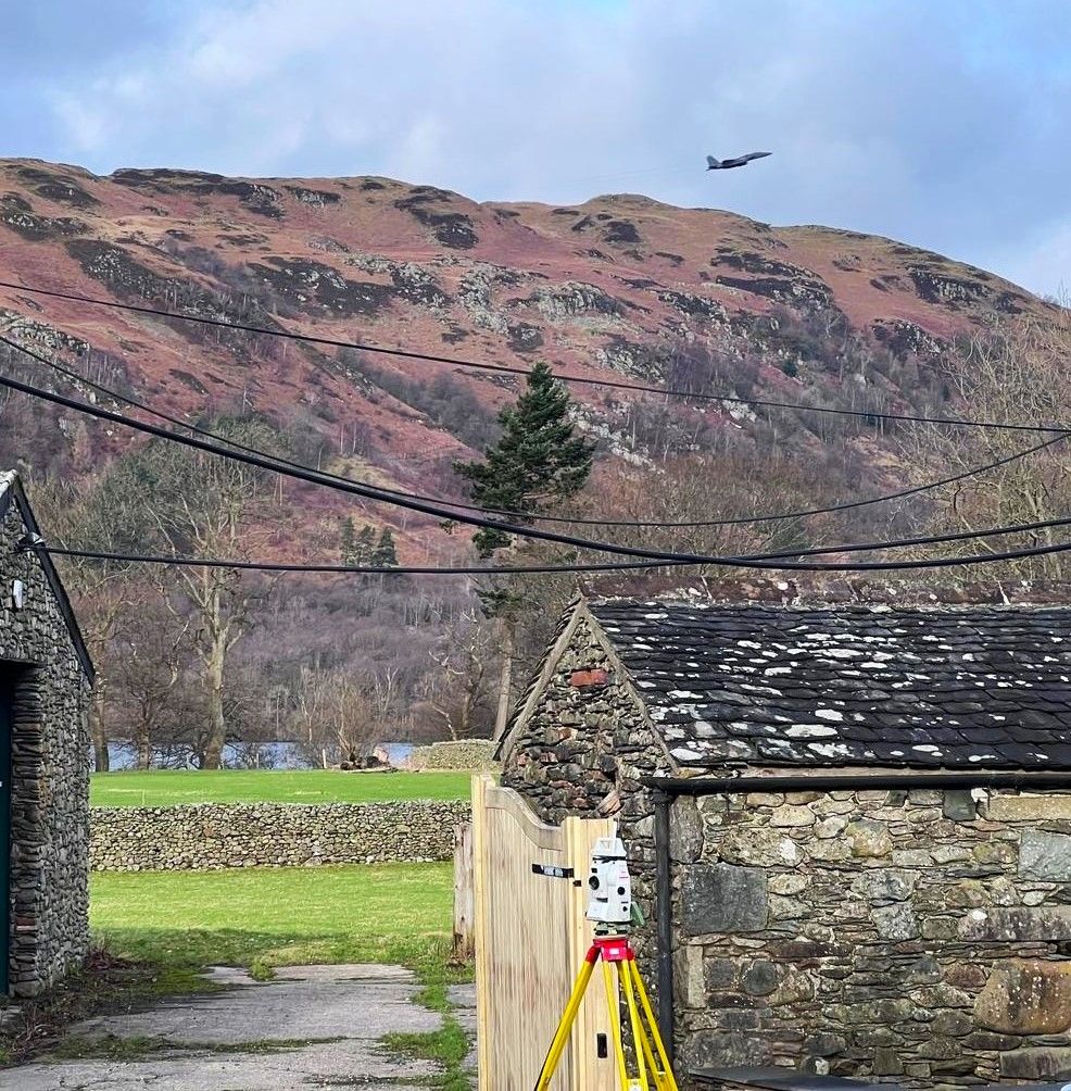
A topographical survey is where every programme begins. Before a design decision is made, before a planning application is submitted, before groundworks start – someone needs to establish what is actually there. Get it right and every decision downstream is built on verified data. Get it wrong and the consequences follow the project through every stage that follows. Site Surveying delivers OS-controlled topographical surveys across Lancashire, the North West and nationally – for tier 1 contractors, civil engineers, highways consultants, architects and developers who need survey data they can build programmes on. Our team is directly employed and the surveyor who quotes your project is the surveyor on site. Sections, contours and intensity ramps are included as standard. Limiting factors noted on every drawing. 3D models and point cloud datasets produced where a 2D plan is not sufficient for the design stage.
Every survey is OS-controlled, tied to National Grid, delivered in AutoCAD DWG, Revit or GIS-compatible format with a full methodology statement, produced by the same team from GPS capture through to CAD output, without a subcontractor in the chain. The people who commission topographical surveys from us are the people whose name is on the programme. We understand what that means – and we have done since 1997.
Ground Levels & Spot Heights
A comprehensive grid of verified ground levels across the survey area, to the density your design requires.
Contours
Generated from the level data, at intervals specified for your project.
Boundaries
All visible boundary features including fences, walls, hedges, ditches and ownership boundaries where determinable.
Drainage
Surface drainage features, gullies, manholes, channels and watercourses within the survey area.
Vegetation
Trees with canopy spread, species and height where required; hedges, shrubs and ground cover.
Structures
All above-ground structures including buildings, retaining walls, kerbs, steps, ramps and highway furniture.
Services at Surface
Visible service indicators including manhole covers, inspection chambers, meter boxes and duct markers.
Contextual Detail
Adjacent features, road levels, footway widths, overhead features and anything else that informs the design brief.
Why Do You Need
A Topographical Survey?
Why Do You Need A Topographical Survey?
A topographical survey gives you a comprehensive view of your site’s layout and condition.
Who Commissions Topographic Surveys From Us
Topographic survey sits at the start of almost every construction, infrastructure and development project we work on. The clients who commission them include:
Tier 1 & tier 2 contractors
Pre-construction topographic surveys for highways, civils and infrastructure programmes across the North West and nationally. We understand programme timescales and deliver without the chasing.
Architects & Design Consultants
Feasibility and pre-application surveys to inform scheme design. We produce data in the format your practice works in, structured for immediate use in your design environment.
Property developers & housebuilders
from initial acquisition surveys through to pre-construction data packages. We have delivered across housing, commercial, mixed-use and brownfield sites throughout Lancashire and the North West.
Planning consultants
Local authorities & public sector bodies
Highways, public realm, education and civic surveys. We hold Constructionline Gold and CDM compliance and are experienced in working within public sector procurement frameworks.
Environmental & flood risk consultants
topographic data for flood risk assessments, drainage design and Environmental Impact Assessments across Lancashire, Cumbria, Greater Manchester and beyond.
Land Surveying Services
Topographical Surveys for Your Sector
We provide flexible outputs to suit architects, engineers, planners, and contractors:
What Will You Receive from a Topographical Survey?
What Will You Receive from a Topographical Survey?
DRAWINGS (DWG/DXF)
PLANS
TERRAIN MODELS
CONTOUR PLANS & LEVEL DATA
(Formats compatible with MX GENIO and other design software)
our Topographical survey case studies
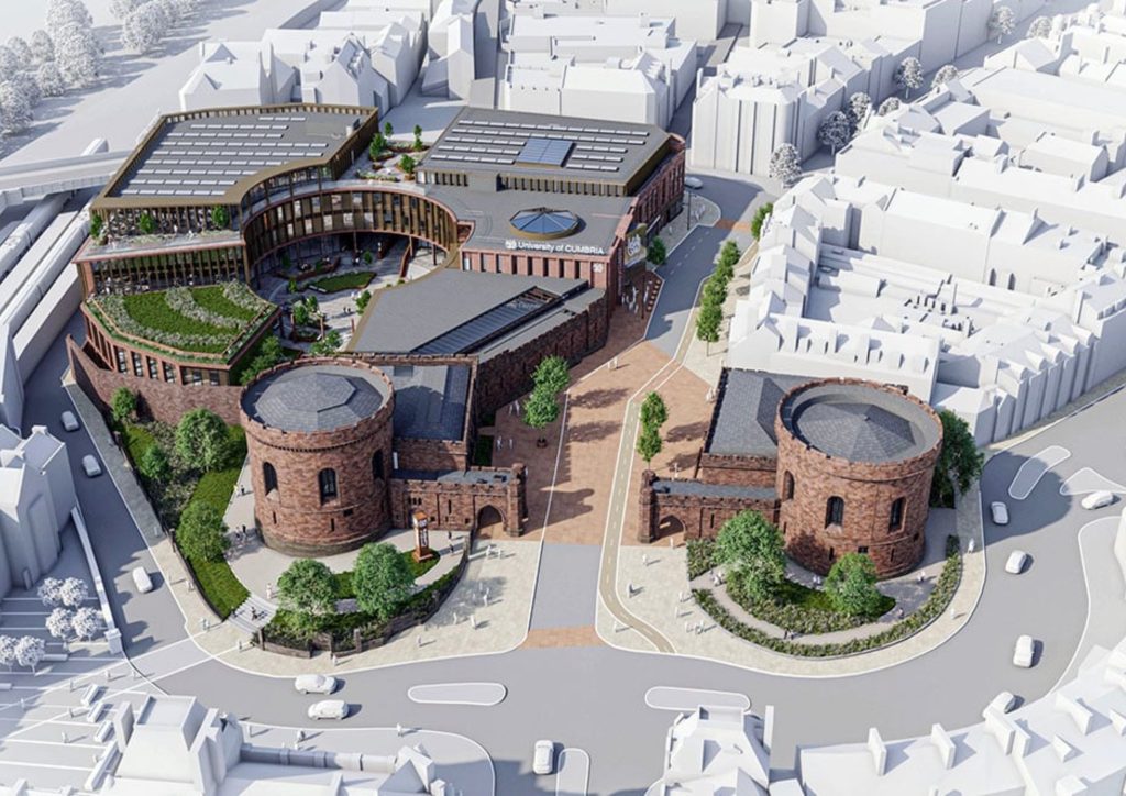
BAE Systems — Barrow-in-Furness

Urban Regeneration Surveys — Darwen, Colne and Accrington

Our Services
How Topographic Surveys Integrate With Other Services
How Topographic Surveys Integrate With Other Services
Topographic survey rarely sits in isolation. In our experience, the most effective data packages combine topographic survey with complementary disciplines to give the design team everything they need from a single instruction. Topographic and PAS 128 utility mapping is the most common combination on construction and infrastructure programmes. Ground truth above and below surface, delivered as a single georeferenced dataset. The BAE Systems project is a direct example of this approach. Topographic and measured building surveys are for sites with existing structures, combining both disciplines gives the design team ground levels, site context and precise building dimensions in one coordinated output. Our Burnley survey is an example of this combined approach. Topographic and UAV surveys are for large sites where ground-based survey alone would be slow or impractical, combining GPS-controlled ground survey with UAV-captured aerial data produces a dense, accurate dataset across the full site area rapidly. Topographic and BIM delivery is where a BIM requirement exists, we build the topographic survey scope around your EIR from the outset, producing data that integrates directly with your Revit or AutoCAD environment without reprocessing.
Topographical Surveys
OS-controlled accurate, efficient and cost effective surveys for highways, civils and development. Cad and BIM-ready output.
PAS 128 utility mapping
Providing the location of underground services in 2D or 3D through qualified utility mapping surveys, using advanced GPR and Electromagnetic Location.
Measured building survey
Delivering accurate as-built information that supports design, refurbishment, planning and construction with the latest technology. Producing reliable drawings and digital models.
Laser Scanning
3D laser scanners capture millions of points per second, creating a point cloud which enables the finer details and the physical site to be viewed remotely.
Mobile mapping
For highway engineers, infrastructure managers, local authorities and contractors working on live road schemes, mobile mapping is now the standard for corridor surveys.
3D Machine control
With decades of supporting major earthworks contractors and large-scale infrastructure schemes, we provide reliable machine control across Lancashire and the wider UK.
Setting out engineers
With strong, long-standing relationships across the civil engineering and construction sector, we supply skilled professionals who keep your projects accurate, efficient and on programme.
bathymetric surveys & river surveys
Using modern technology, we capture detailed underwater and river channel information safely and efficiently – delivering reliable data you can trust.
Stockpile surveys & volumetric analysis
Whether a one-off stockpile measurement or regular monitoring, we deliver reliable, repeatable data tailored to your project using advanced technology.
Control Network Installation
Delivering robust and precise site control systems to support every stage of construction in developments, infrastructure schemes or major earthworks.
aerial & drone surveys
CAA-approved drone operations for aerial mapping, photogrammetry and volumetric analysis, providing a comprehensive view of terrain, structures and landscapes.
3D BIM Modelling
Whether you require an as-built Revit model, federated coordination model or detailed digital twin, our team delivers high quality, design-ready outputs.
survey equipment hire
We offer a vast range of surveying and engineering equipment for hire and will always try to beat a comparable quote. Discover the fleet.
monitoring
Providing reliable monitoring surveys across the UK, delivering precise data that supports risk management, compliance and informed decision making throughout a project lifecycle.
Virtual Tour 3D
An immersive experience which instantly transports your clients to your business, guiding them through your space and creating a seamless experience.
Impermeable area surveys
We deliver georeferenced impermeable area data that drainage engineers and planning consultants can work from directly.
CCTV & Drainage surveys
Acoustic & Noise Assessments
We deliver acoustic and noise assessments, supporting planning applications, discharge of conditions and Environmental Impact Assessments.
Topographical Surveys
PAS 128 utility mapping
Laser Scanning
Mobile mapping
Setting out engineers
bathymetric surveys & river surveys
Control Network Installation
aerial & drone surveys
survey equipment hire
monitoring
Impermeable area surveys
CCTV & Drainage surveys
3D Machine control
Acoustic & Noise Assessments
Stockpile surveys & volumetric analysis
3D BIM Modelling
3D BIM Modelling
Virtual Tour 3D
Why choose site surveying services
On site. On spec. On time.
On site when your programme opens.
We mobilise quickly, providing a quote within 48 hours. Survey team on site when your access window opens — not when it suits our schedule.
The data that arrives ready to use.
Every survey OS-controlled, tied to National Grid, delivered in the format your design software requires. No reprocessing. No conversion. No delay.
Sections and contours included. Always.
Intensity ramps, limiting factors, vegetation to BS 5837 — included as standard on every survey. Not extras. Not on request. Standard and recommended.
The same organisation from GPS to CAD.
Our survey team and our CAD team are the same firm. The data that leaves our office has been in-house. No gap. No handoff. No assumptions.
Frequently Asked Questions
Frequently Asked Questions
What is a topographical survey?
A topographic survey is a detailed measured record of the physical features of a site — ground levels, contours, boundaries, drainage, vegetation, structures and all relevant features within the survey area. It is used as the base dataset for design, planning and construction across almost every project type.
How accurate is a topographic survey?
The accuracy of a topographic survey depends on the specification agreed at the time of commission. For most construction and infrastructure applications, topographic surveys are delivered to ±10–20mm accuracy on levels and ±20–50mm on planimetric features. Where higher accuracy is required — for example, to support setting-out or structural design — we can increase the specification accordingly. All our surveys are OS-controlled and tied to National Grid.
What is included in a topographic survey?
A standard topographic survey captures ground levels, contours, boundaries, drainage, vegetation, structures, services at surface level and contextual detail. At Site Surveying Services, we include sections, contours and intensity ramps as standard — not as extras. If there are site-specific features you require, tell us at the time of instruction and we will confirm what can be included within the survey scope.
What file format will my topographic survey be delivered in?
We deliver topographic surveys in the format your design team requires — AutoCAD DWG, DXF, Revit, PDF plan and GIS-compatible formats are all available. Tell us your requirement at the time of instruction and we will confirm the deliverable format before survey.
How long does a topographic survey take?
This depends entirely on the size and complexity of the site. A straightforward residential or small commercial site can typically be completed in a single day. A large industrial facility, highway corridor or multi-building campus will require longer. We will give you a realistic timeframe when we return your quote.
Do you need to close the road or restrict access for a topographic survey?
For most topographic surveys, no road closure or access restriction is required. Our surveyors are experienced in working in live environments — live carriageways, operational industrial sites, occupied buildings and constrained urban environments — and our method statements are produced to reflect the site conditions. Where traffic management is required, we will advise at the time of quoting.
What is the difference between a topographic survey and an OS map?
An OS map is a generalised representation of the landscape produced at a national scale. A topographic survey is a site-specific, measured record produced to the accuracy and detail your project requires — capturing features and levels that do not appear on OS mapping and tying the data to specific coordinate and level systems for immediate use in design and construction.
Can you combine a topographic survey with utility mapping?
Yes — and we recommend it on any site where groundworks are planned. Combining topographic survey with PAS 128 utility mapping gives the design team a complete picture of the site above and below ground, in a single georeferenced dataset. It is more efficient, more cost-effective and significantly reduces the risk of underground surprises during construction. The BAE Systems project at Barrow-in-Furness is an example of this integrated approach.
Do you cover the whole of the UK?
Yes. Our head office is in Clitheroe, Lancashire, with additional offices in Matlock, Newcastle and Bristol. We deliver topographic surveys across the North West, North East, Midlands, South West and nationally. All work is delivered by our directly employed team — not subcontractors.