
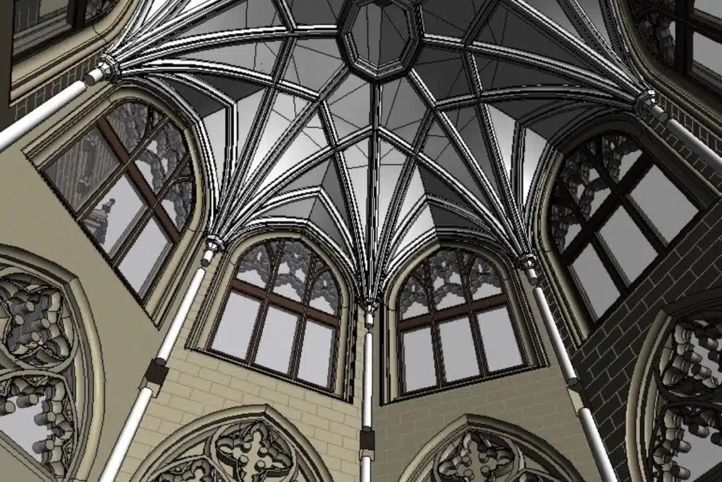

Building Information Modelling (BIM) gives architects, engineers, and designers a detailed, data-rich 3D representation of any structure or site. Using advanced surveying techniques such as laser scanning and drone photogrammetry, we create accurate digital models that streamline collaboration, planning, and execution. Whether for renovation, new builds, or asset management, our BIM modelling solutions help ensure projects are delivered on time, within budget, and to the highest quality standards.
Your one trusted partner. North West and Lancashire land surveyors with nationwide capability.