

Survey data. Flood modelling. Drainage design. Flood risk assessments. Fully project managed. One partnership, one point of contact.
Complete Flood Risk & Drainage Solutions.


Our Long Standing Relationship.
Our Long Standing Relationship.
Site Surveying Services and Thomas Consulting have worked together across a range of survey and civil engineering instructions over many years. Built on that established working relationship, we have formalised a dedicated partnership to deliver something the market has long needed — a complete, end-to-end flood risk and drainage service from two specialist firms, working as one coordinated team.
Thomas Consulting is a civil & structural engineering consultancy who specialise in a range of services including flood modelling and design, drainage design, flood risk assessments and project management. Site Surveying Services delivers the full range of survey services that underpin that work — bathymetric and river surveys, topographic surveys, and CCTV and drainage surveys. Together, we take a flood risk instruction from the first site visit to the final technical report, with no gaps between disciplines and no need for the client to manage separate appointments with separate firms.
This partnership was formed specifically to serve local authorities, property developers and environmental agencies who need a complete, reliable and cost-effective alternative to large consultancy firms. We offer technical rigour at a price that reflects the lean, specialist nature of both firms.

How it Works.
How it Works
01
Data Gathering
Thomas Consulting reviews existing flood zone mapping, EA data, drainage records and planning history to establish baseline risk and define the survey scope.
02
Topographic Survey
03
Bathymetric & River Survey
04
Drainage Survey
05
Flood Modelling, Flood Design & Drainage Design
Thomas Consulting builds the hydraulic model, develops flood design proposals and produces drainage design — all informed directly by SSS survey data.
06
Flood Risk Assessment
Civil Engineering for Flood Risk & Drainage
Thomas Consulting is a civil & structural engineering consultancy with specialist expertise in the services that sit at the heart of this partnership. Their in-house capabilities span flood modelling and design, drainage design, flood risk assessments and full project management — meaning every technical and managerial requirement of a flood risk instruction is handled with the rigour of a dedicated engineering practice.
As the project management lead within the partnership, Thomas Consulting coordinates the full instruction from initial brief to final submission — liaising with the planning authority, Environment Agency and client team, and ensuring that SSS survey outputs are structured and timed to feed directly into the engineering workflow.
SuDS Design
Catchment Analysis
Hydraulic Assessments
Sewer Connections (Section 106)
Adoptable (Section 104) and Private Foul & Surface Water Drainage Design
Surface Water Management Plans
Planning Permission Drainage Consultancy
Package Treatment Plan Design
Flood Risk Assessments
River Modelling
Who We Work With
Who We Work With
Built for the Clients Who Need It Most
Impermeable area survey sits at the start of every drainage design and SuDS strategy. The clients who commission them include:
Local Authorities
Councils and highway authorities managing watercourses, fulfilling Lead Local Flood Authority obligations, or assessing flood risk across their area need survey data and engineering expertise that can be commissioned and delivered as one. We understand public sector procurement, reporting requirements and the need for technically defensible outputs.
Property Developers
Development sites near watercourses, in flood zones, or with surface water constraints need flood risk work that is accurate, efficient and doesn’t hold up the planning programme. We scope and deliver the survey and assessment together, so the FRA supports the application rather than delaying it.
Environmental Agencies & Consultants
Environmental agencies, ecological consultants and planning consultants working on flood-sensitive projects need a survey and engineering partner who understands the regulatory context. Our combined team has experience working to Environment Agency standards and delivering EA-compliant outputs.

Sectors We Serve Through This Partnership
The Survey Services Behind the Partnership
Every flood risk and drainage instruction requires accurate, structured survey data. These are the SSS services that feed directly into the partnership’s engineering workflow.
Bathymetric & River Surveys
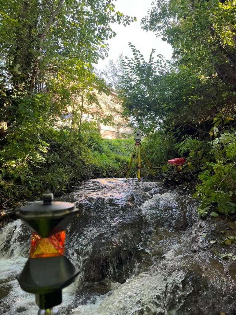
Bed levels, cross-sections and long profiles of rivers and channels — the foundation of any hydraulic model.
Topographic Surveys
Ground levels, watercourse extents, structures and contextual features — the spatial framework for flood modelling and drainage design.
CCTV & Drainage Surveys
Existing drainage network mapping, outfall identification and capacity assessment — essential for drainage design and surface water flood risk.
Aerial & Drone Surveys
Rapid large-area coverage for floodplain mapping, catchment assessment and progress recording on flood risk schemes.
Impermeable Area Surveys
Quantification of hard surfacing and impermeable areas — directly informing surface water runoff calculations and SuDS design.
Monitoring Campaigns
Structural and settlement monitoring where flood risk schemes involve adjacent infrastructure or sensitive structures.
Why choose this partnership
Two specialist firms, one accountable team, and a service built for the gap in the market.
Decades of combined experience
Thomas Consulting has provided structural and civil engineering services since 1979. Site Surveying Services has worked alongside TC for many years already, on a range of instructions. This partnership formalises an already trusted working relationship that clients can rely on to deliver.
One point of contact, fully managed
Thomas Consulting manages the entire instruction from first enquiry to final report. Clients don't need to coordinate between a survey firm and an engineering consultancy — there's one project manager accountable for programme, quality and communication throughout.
In-house delivery, not subcontracted
Every survey is delivered by Site Surveying Services' own directly employed survey team. Every flood model, design and assessment is delivered by TC's own in-house engineers. Nothing is subcontracted out to third parties — the team that quotes the work is the team that delivers it.