- Home
- About Site Surveying Services▼
- Services▼
- Topographic Surveys
- Utility Mapping
- Full Measured Building Surveys
- Laser Scanning
- Mobile Mapping
- 3D Machine Control
- Setting Out and Site Engineering
- Bathymetric Surveys
- Volumetric Analysis
- Control Network Installation
- Aerial and Drone Surveys
- 3D BIM Modelling
- Survey Equipment Hire and Sales
- Monitoring Campaigns
- Virtual Tour 3D
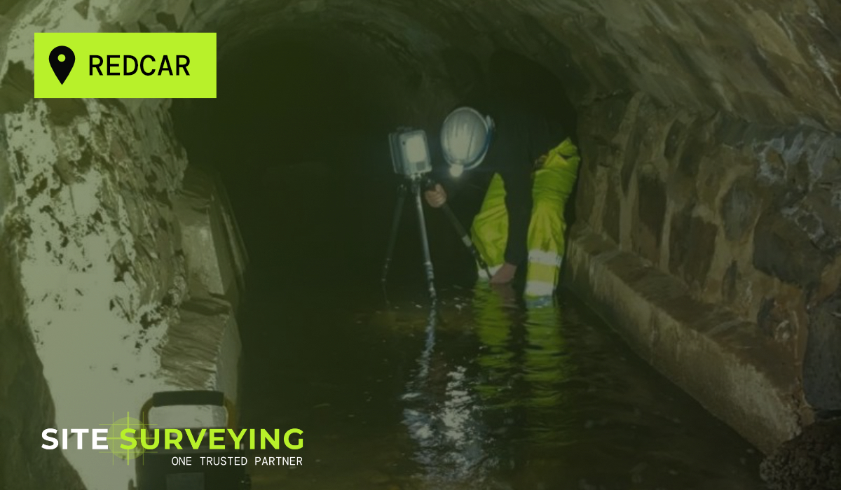
- CCTV & Drainage Surveys
- Acoustic & Noise Assessments
- Impermeable Area Survey
- Sectors▼
- Architecture & Project Management
- Bathymetric & Hydrographic
- Public Sector & Services
- Housing & Development
- Construction & Civil Engineering
- Commercial & Retail
- Demolition and Remediation
- Infrastructure and transport
- Industrial & Logistics
- Heritage & Remediation
- Rural & Agriculture
- Defence & Justice
- Environmental & Energy
- Roads and Highways
- Resources▼
- Locations
- Our Projects
- Careers
- Get a Quote
- Contact
- Privacy Policy


 Leeds
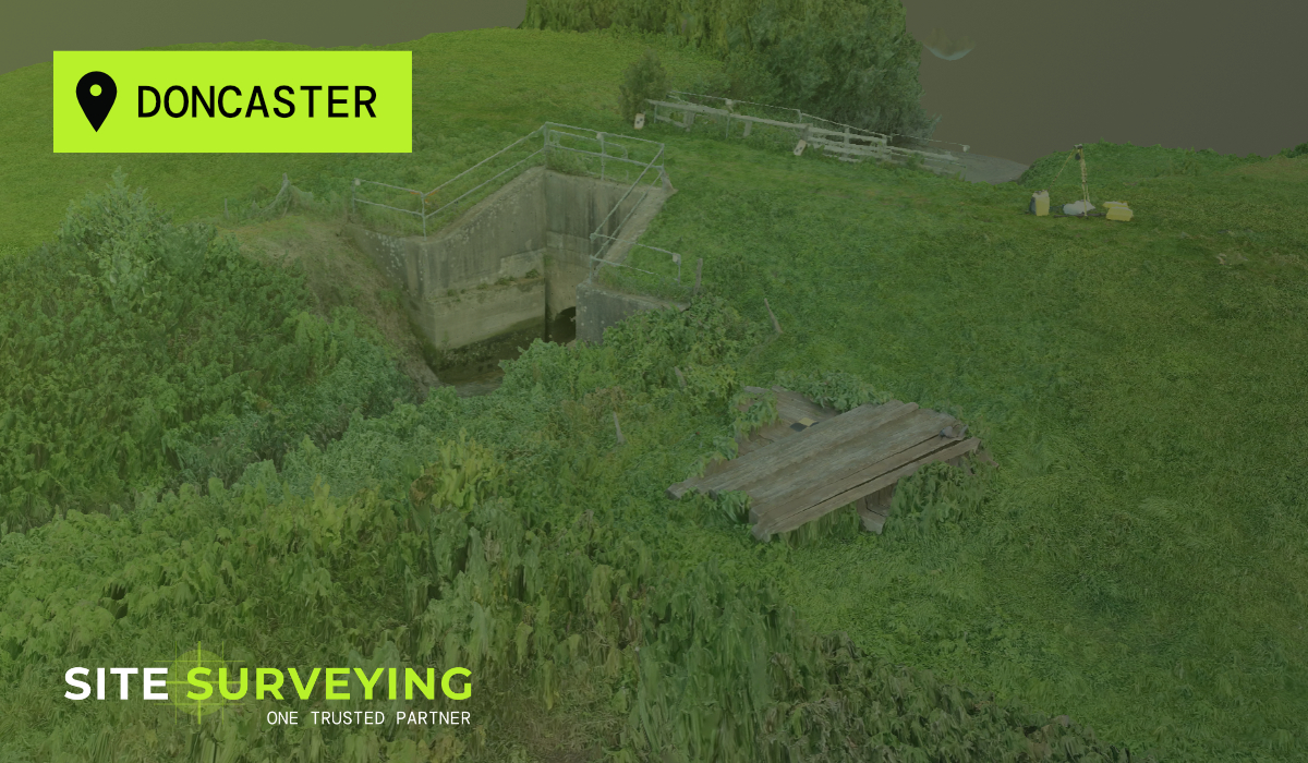
Leeds Doncaster
 Sheffield
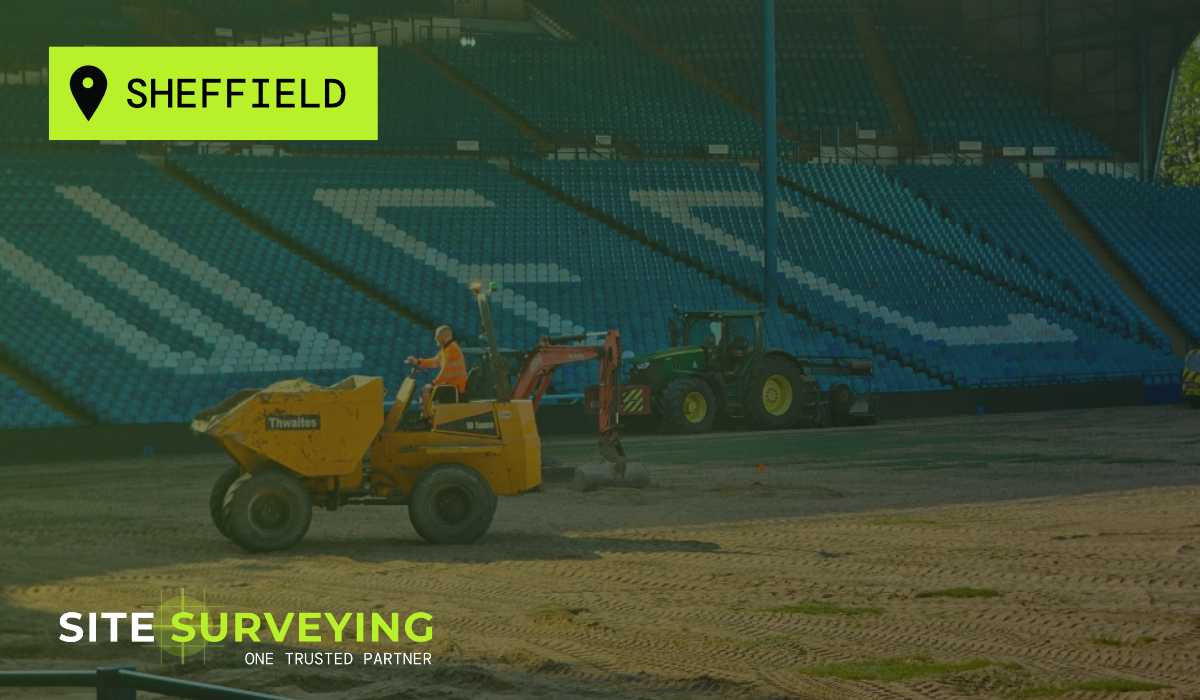
 Bradford
 Hull
Hull Halifax
 Sunderland
 Newcastle
 Middlesborough
 Yorkshire Moors
 Teesside
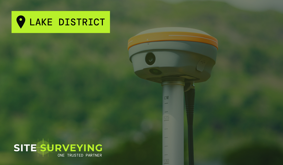
 Cumbria
 Harrogate
 York
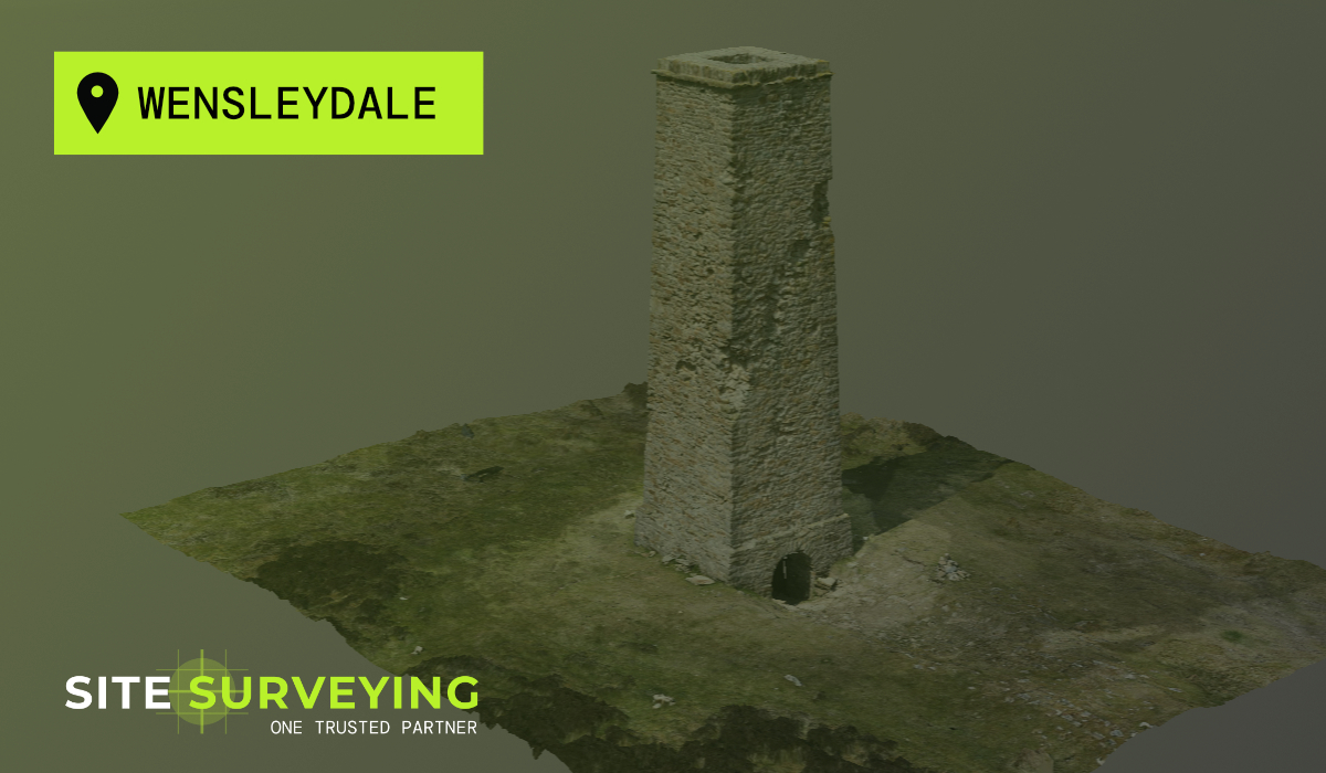
York Yorkshire Dales
 Northumberland
 Goole
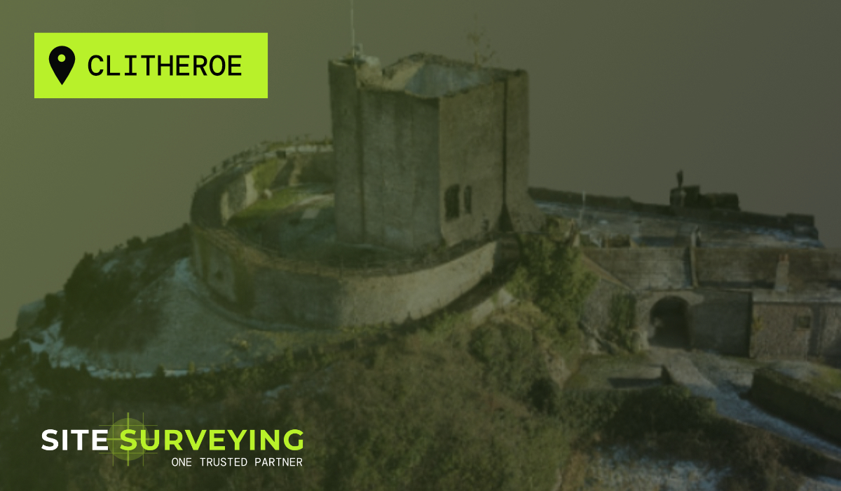
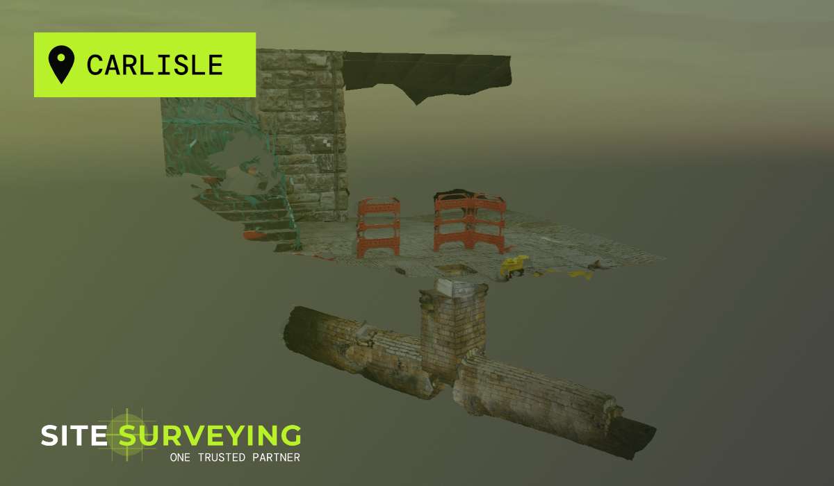
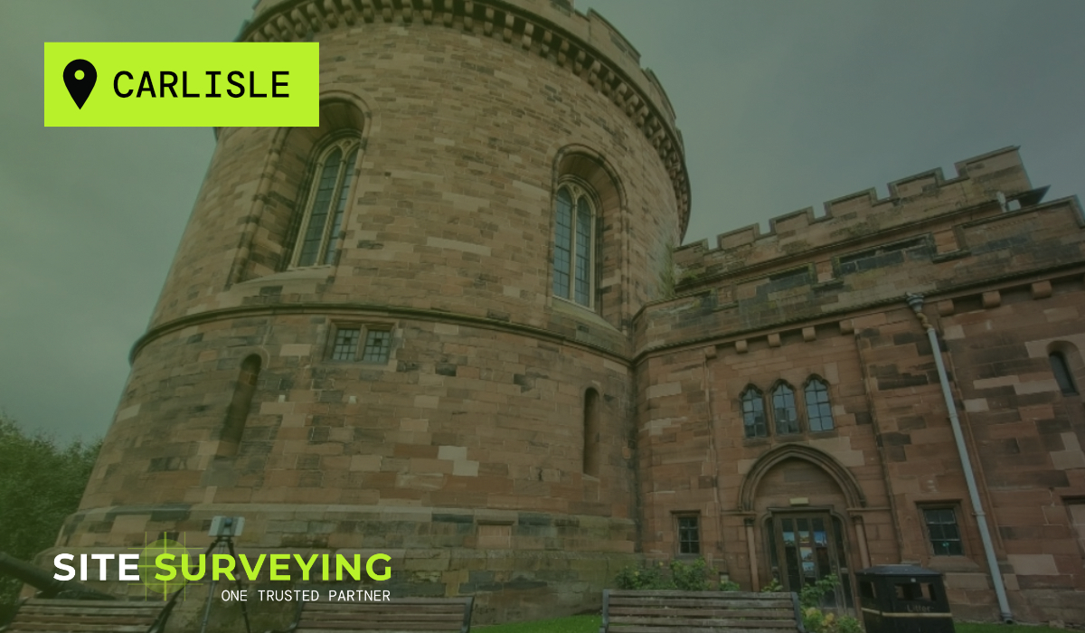
Goole Carlisle
 Keswick
 Kendal
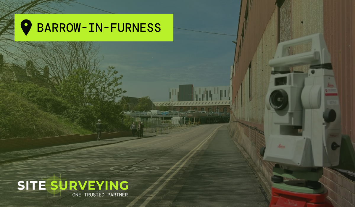
 Barrow-in-Furness
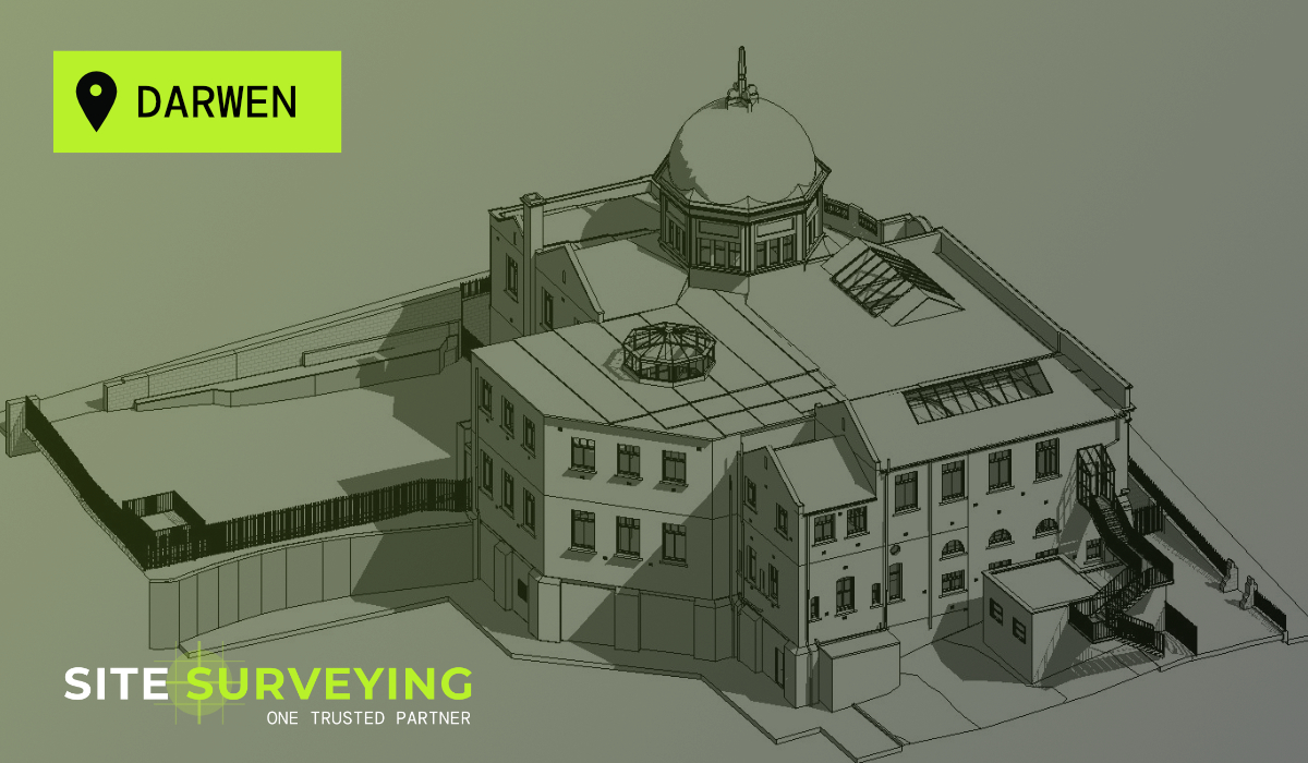
 Lancaster
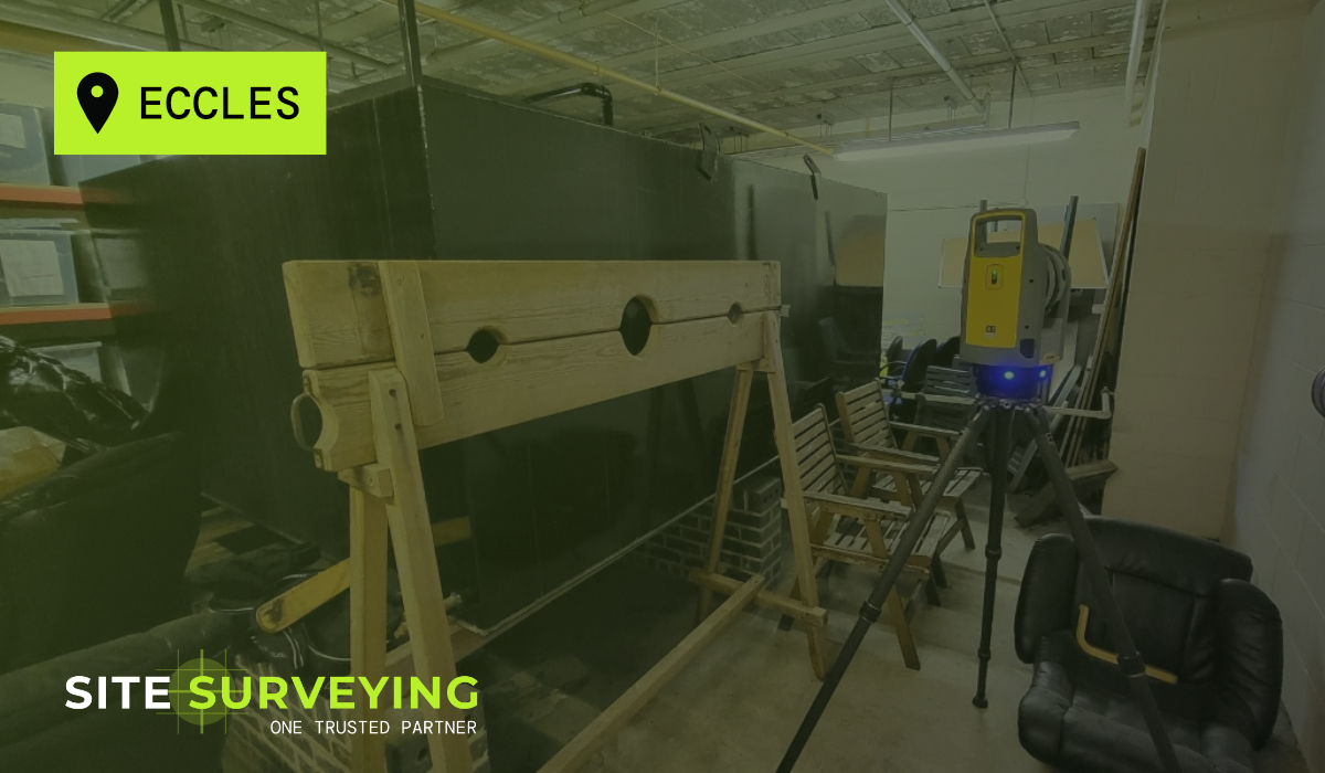
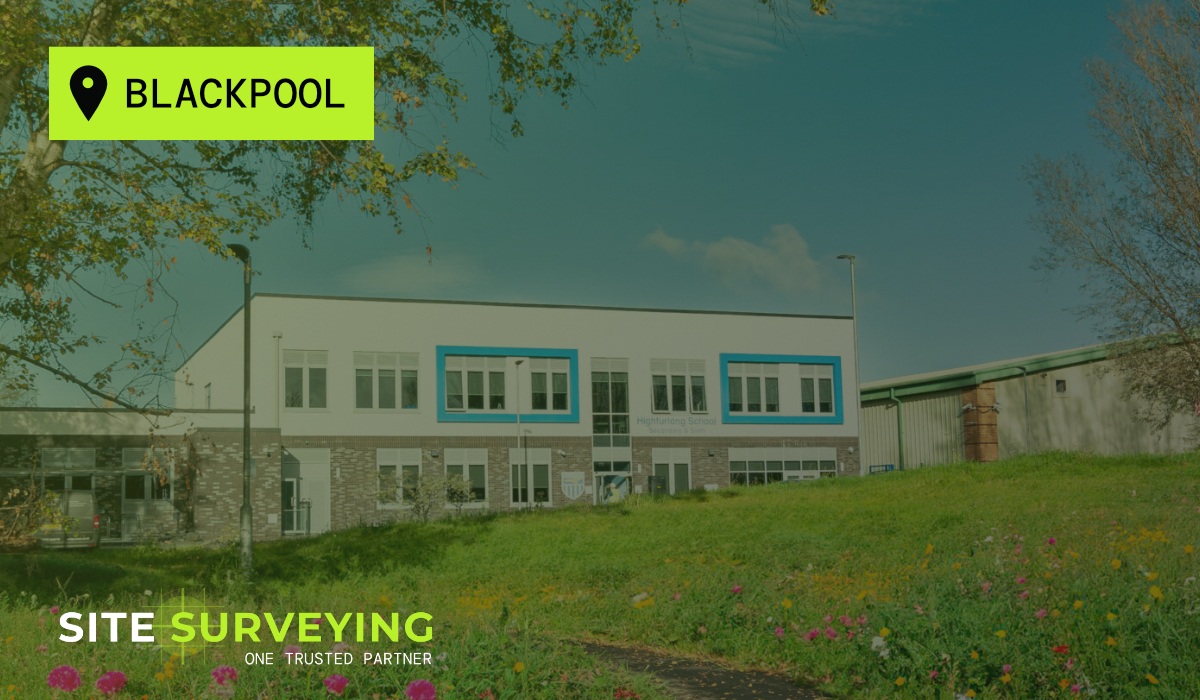
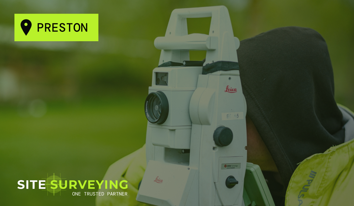
 Blackpool
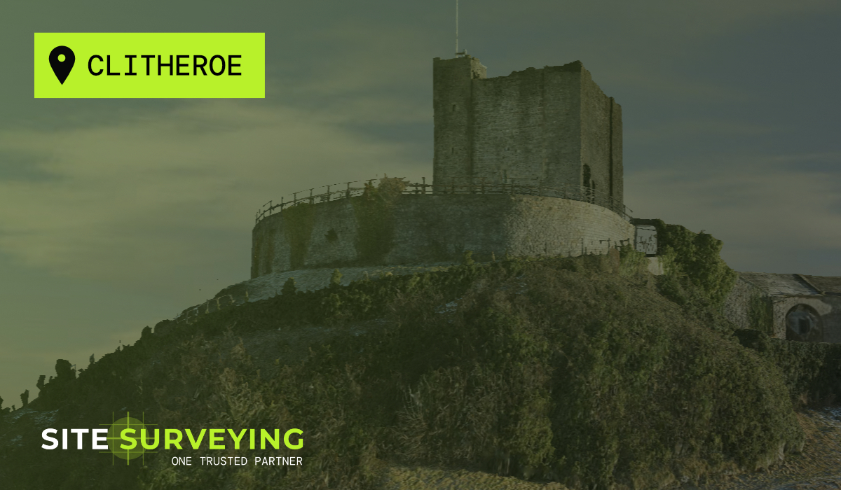
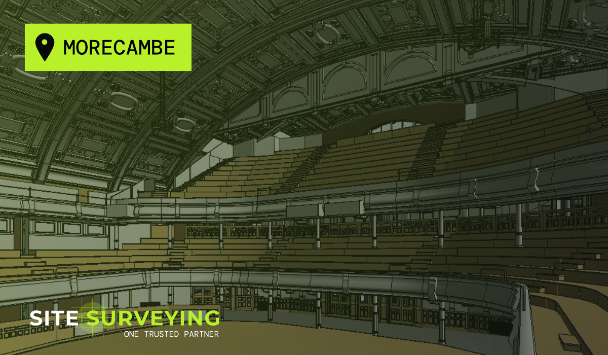
 Morecambe
 Southport
 Liverpool
 Wigan
Wigan Manchester
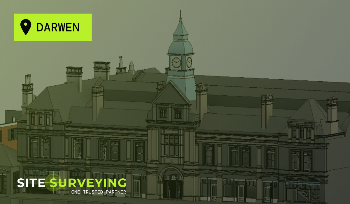
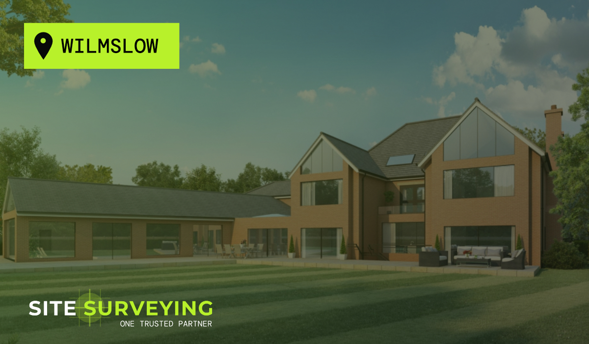
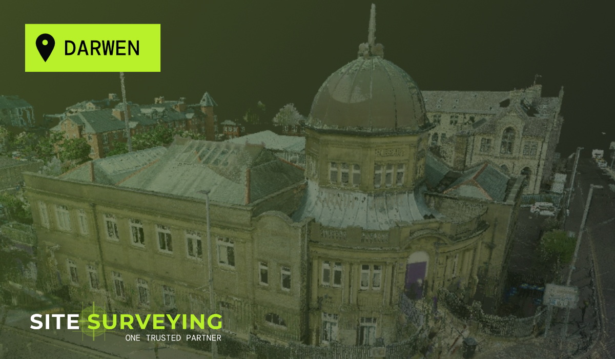
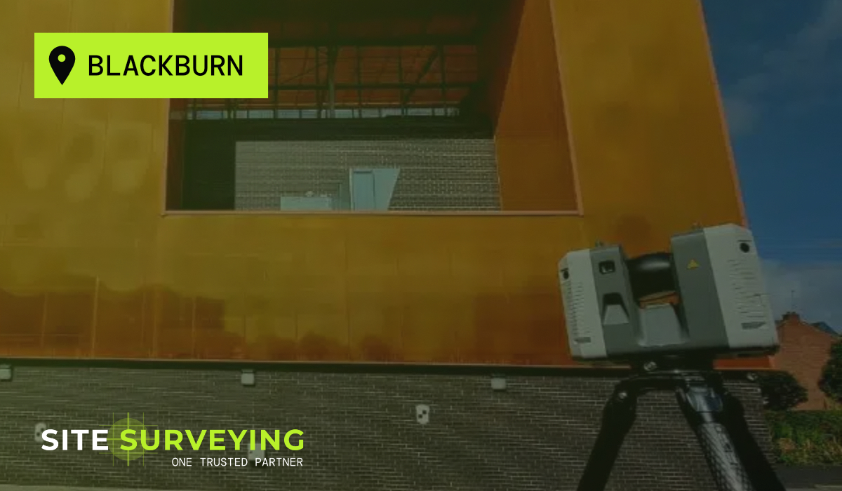
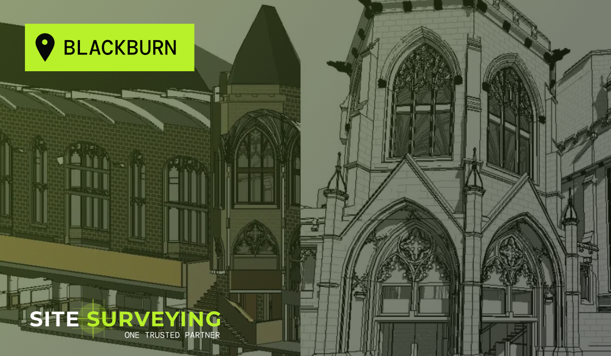
 Blackburn
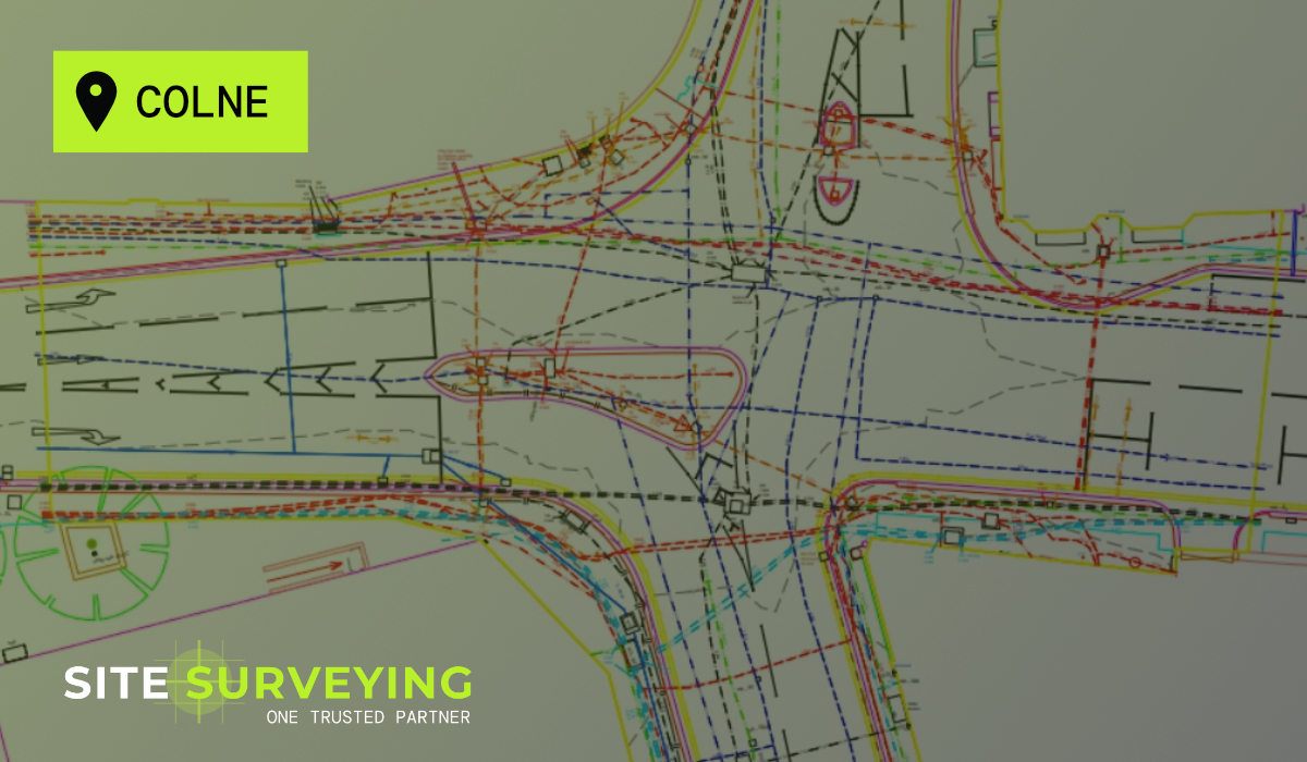
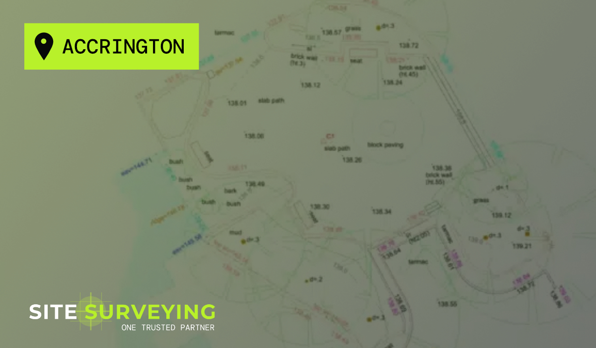
 Burnley
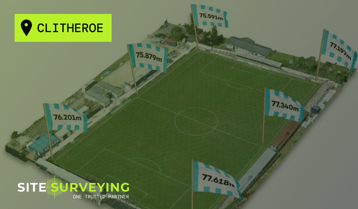
 Forest of Bowland
 Oldham
 Chester
 Stockport
 Peak District
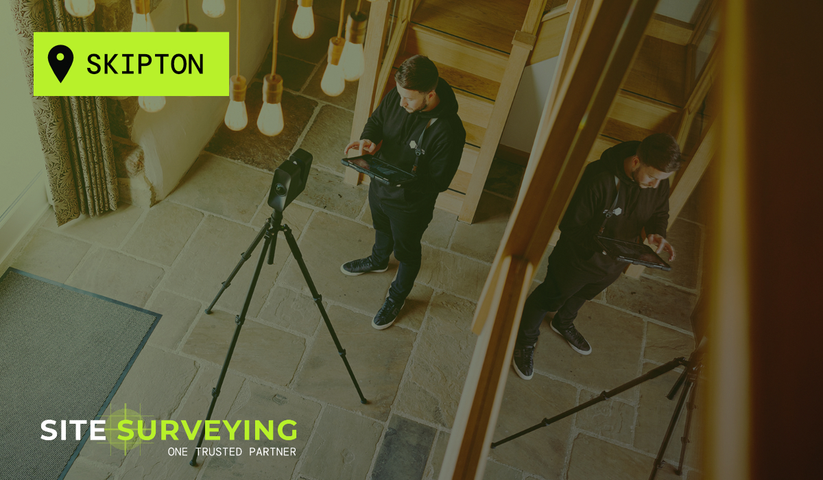
 Skipton
 Crewe
Crewe Rotherham
 Stoke
Stoke Driffield